Channel & Berth Profile
Pilotage, Tugs & Services
Pilotage compulsoryYES
Pilotage availableYES
Pilotage advisableYES
Tug assistanceYES
Potable waterYES
MedicalYES
Garbage disposalYES
Facilities & Capabilities
Container—
Ro-Ro—
Liquid bulk—
Dry bulk—
Oil terminal—
Break bulk—
Dry dock—
Repairs—
BunkeringYES
Rail linkYES
Dangerous cargo—
ISPS security—
Harbour Specifications
Harbour size
Medium
Harbour type
Coastal (Breakwater)
Shelter
Excellent
Water body
Spencer Gulf; Indian Ocean
Tidal range
1 m
Pilotage
Yes
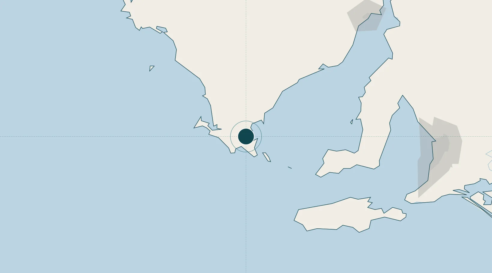
Location
Nearby Logistics Neighbours
Ports
- 1Klein Point177 km
- 2Port Giles178 km
- 3Wallaroo184 km
- 4Kingscote192 km
- 5Ardrossan192 km
Cities
- 1Lucky Bay151 km
- 2Port Kenny203 km
- 3Grange241 km
- 4Henley Beach241 km
- 5Outer Harbour242 km
Airports
- 1Port Lincoln Airport13 km
- 2Cleve Airport127 km
- 3Kingscote Airport188 km
- 4Whyalla Airport240 km
- 5Adelaide International Airport246 km
DatabookThe Record of Consolidated Knowledge
Australia beyond logistics?