Transport Functions
Multimodal
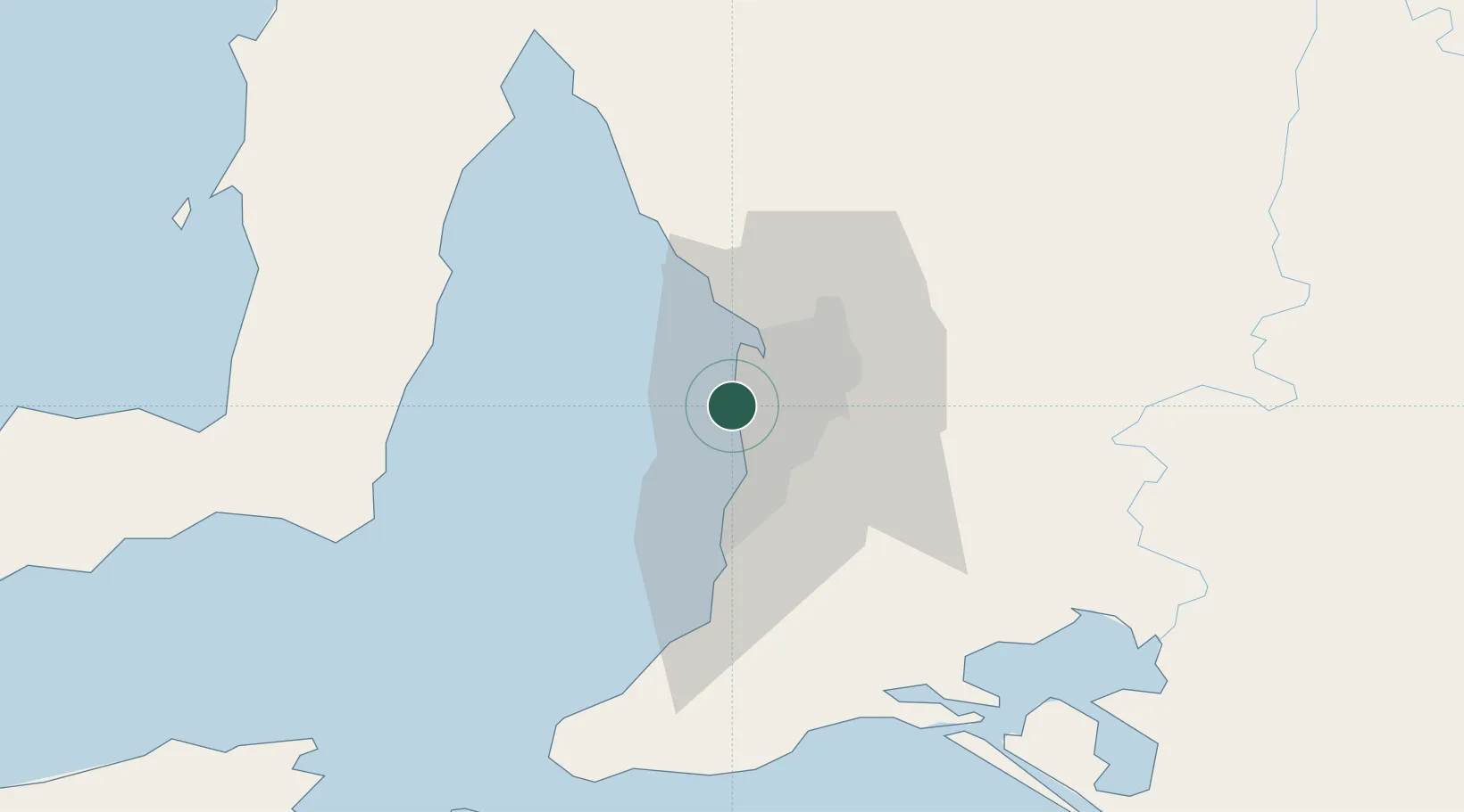
Hub Profile
Place type
Populated place
Region
South Australia
Population
5,759
Time zone
Australia/Adelaide
Elevation
11 m
Location
Nearby Logistics Neighbours
Cities
- 1Henley Beach2 km
- 2Kidman Park3 km
- 3Findon5 km
- 4Welland5 km
- 5Beverley5 km
Ports
- 1Port Adelaide6 km
- 2Klein Point66 km
- 3Port Giles67 km
- 4Ardrossan73 km
- 5Kingscote112 km
Airports
- 1Adelaide International Airport7 km
- 2RAAF Base Edinburgh25 km
- 3Kingscote Airport126 km
- 4Port Pirie Airport190 km
- 5Renmark Airport215 km
DatabookThe Record of Consolidated Knowledge
Australia beyond logistics?