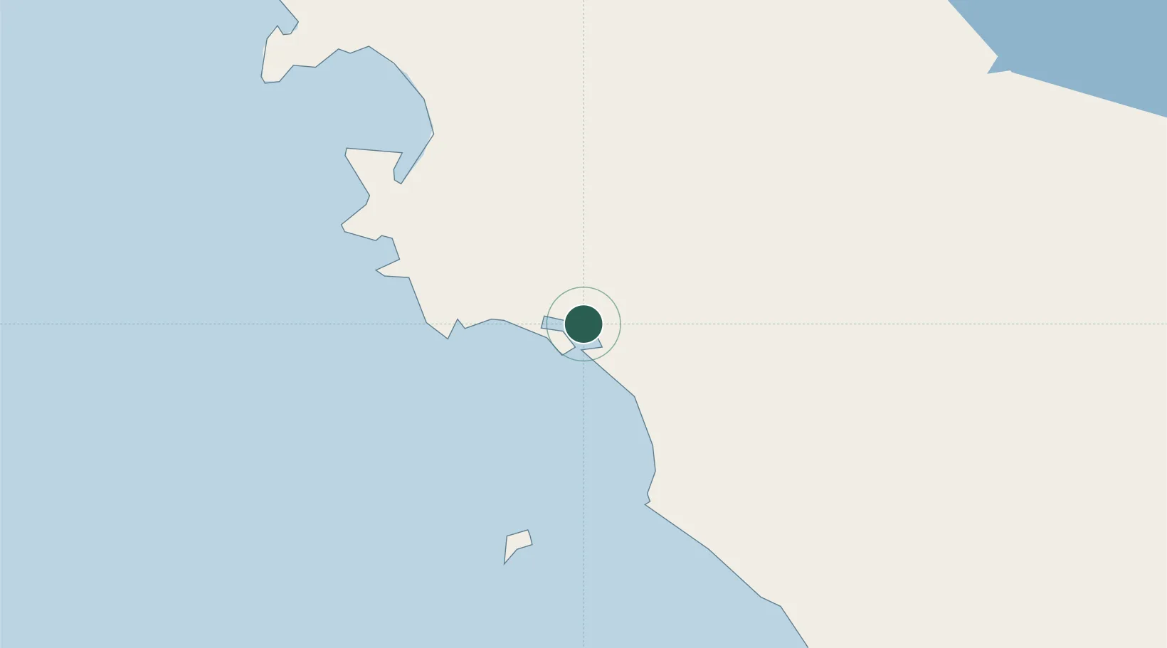
UN/LOCODE hub · Australia
AUPKY

Port Kenny

-33.1667°, 134.6833°
73
Population
1
Transport functions

Transport Functions

Port
UN/LOCODE

Hub Profile

Place type
Populated place
GeoNames
Region
South Australia
GeoNames
Population
73
GeoNames
Time zone
Australia/Adelaide
GeoNames
Elevation
11 m
GeoNames

Location

Location of AUPKY
Natural Earth 10m (public domain) · South Australia · AUPKY · -33.17, 134.68GoogleOSMYandex

Nearby Logistics Neighbours

Cities
  1. 1Lucky Bay215 km
  2. 2Andrews370 km
  3. 3Clare371 km
  4. 4Twowells387 km
  5. 5Virginia394 km
Nearest neighbours — logibook spatial index (haversine) over the source coordinates
Ports
  1. 1Thevenard147 km
  2. 2Port Lincoln203 km
  3. 3Whyalla271 km
  4. 4Wallaroo285 km
  5. 5Port Bonython288 km
Nearest neighbours — logibook spatial index (haversine) over the source coordinates
Airports
  1. 1Ceduna Airport147 km
  2. 2Cleve Airport180 km
  3. 3Port Lincoln Airport194 km
  4. 4Whyalla Airport264 km
  5. 5Port Augusta Airport293 km
Nearest neighbours — logibook spatial index (haversine) over the source coordinates
DatabookThe Record of Consolidated Knowledge
Australia beyond logistics?
Browse databook

All Sources

LocationsUN/LOCODE
UN/LOCODE — free
LocationsGeoNames
CC BY 4.0
Portsthe NGA World Port Index
Public domain (US gov)
AirportsOurAirports
Public domain
Trade Zonesthe World Bank SEZ database
CC BY 4.0
Trade ZonesOpen Zone Map
CC BY
← Australia locations