Transport Functions
Multimodal
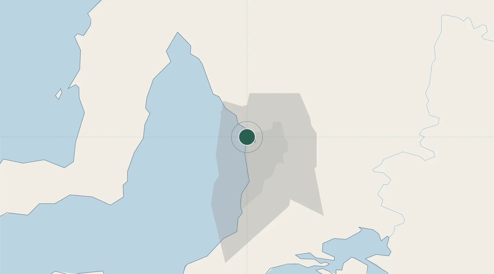
Hub Profile
Region
SA
Location
Nearby Logistics Neighbours
Cities
- 1Outer Harbor0 km
- 2Adelaide6 km
- 3Birkenhead7 km
- 4Ottoway8 km
- 5Port Adelaide8 km
Ports
- 1Port Adelaide9 km
- 2Ardrossan65 km
- 3Klein Point71 km
- 4Port Giles73 km
- 5Wallaroo123 km
Airports
- 1RAAF Base Edinburgh13 km
- 2Adelaide International Airport20 km
- 3Kingscote Airport138 km
- 4Port Pirie Airport176 km
- 5Renmark Airport209 km
DatabookThe Record of Consolidated Knowledge
Australia beyond logistics?