UN/LOCODE hub · Australia
AUALP

Abell Point

-20.2667°, 148.7167°
2
Transport functions

Transport Functions

Port
Road
UN/LOCODE

Hub Profile

Region
QLD
GeoNames

Location

Location of AUALP
Natural Earth 10m (public domain) · QLD · AUALP · -20.27, 148.72GoogleOSMYandex

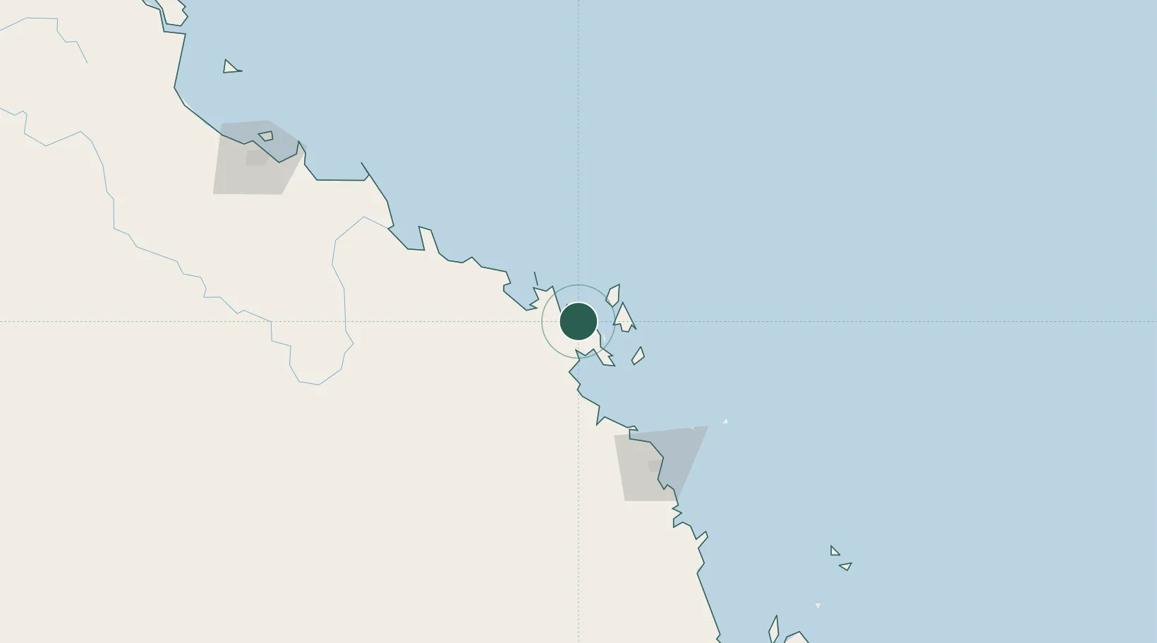
Nearby Logistics Neighbours

Cities
  1. 1Red Hill23 km
  2. 2Whitsunday Island31 km
  3. 3Abbot Point78 km
  4. 4Pleystowe103 km
  5. 5Mackay112 km
Nearest neighbours — logibook spatial index (haversine) over the source coordinates
Ports
  1. 1Mackay108 km
  2. 2Hay Point128 km
  3. 3Townsville228 km
  4. 4Lucinda317 km
  5. 5Mourilyan Harbour402 km
Nearest neighbours — logibook spatial index (haversine) over the source coordinates
Airports
  1. 1Hamilton Island Airport27 km
  2. 2Hayman Island Resort Seaplane Base29 km
  3. 3Proserpine Whitsunday Coast Airport31 km
  4. 4Mackay Airport112 km
  5. 5Moranbah Airport210 km
Nearest neighbours — logibook spatial index (haversine) over the source coordinates
Trade Zones
  1. 1Paga Hill Estate Special Economic Zone1211 km
  2. 2Ihu Special Economic Zone1421 km
  3. 3Ledger Atlas Special Economic Zone1523 km
  4. 4Nadzab (Momase) Special Economic Zone1534 km
  5. 5Morobe Agricultural Special Economic Zone1546 km
Nearest neighbours — logibook spatial index (haversine) over the source coordinates
DatabookThe Record of Consolidated Knowledge
Australia beyond logistics?
Browse databook

All Sources

LocationsUN/LOCODE
UN/LOCODE — free
Portsthe NGA World Port Index
Public domain (US gov)
AirportsOurAirports
Public domain
Trade Zonesthe World Bank SEZ database
CC BY 4.0
Trade ZonesOpen Zone Map
CC BY
← Australia locations