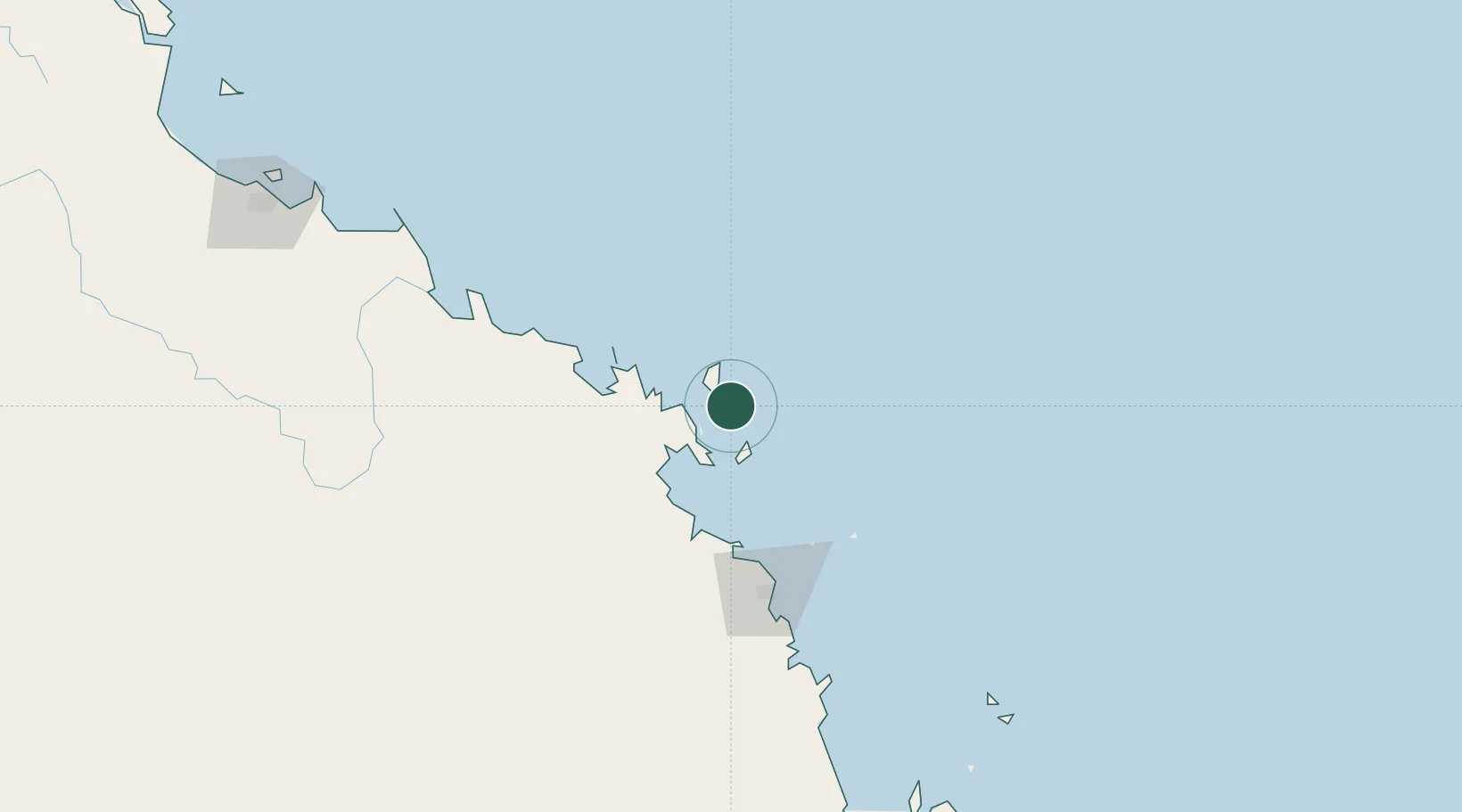
UN/LOCODE hub · Australia
AUWSI

Whitsunday Island

-20.2500°, 149.0167°
1
Transport functions

Transport Functions

Port
UN/LOCODE

Hub Profile

Region
QLD
GeoNames

Location

Location of AUWSI
Natural Earth 10m (public domain) · QLD · AUWSI · -20.25, 149.02GoogleOSMYandex

Nearby Logistics Neighbours

Cities
  1. 1Abell Point31 km
  2. 2Red Hill54 km
  3. 3Pleystowe100 km
  4. 4Mackay104 km
  5. 5Abbot Point105 km
Nearest neighbours — logibook spatial index (haversine) over the source coordinates
Ports
  1. 1Mackay99 km
  2. 2Hay Point119 km
  3. 3Townsville255 km
  4. 4Lucinda341 km
  5. 5Port Alma416 km
Nearest neighbours — logibook spatial index (haversine) over the source coordinates
Airports
  1. 1Hamilton Island Airport14 km
  2. 2Hayman Island Resort Seaplane Base25 km
  3. 3Proserpine Whitsunday Coast Airport55 km
  4. 4Mackay Airport104 km
  5. 5Moranbah Airport223 km
Nearest neighbours — logibook spatial index (haversine) over the source coordinates
Trade Zones
  1. 1Paga Hill Estate Special Economic Zone1214 km
  2. 2Ihu Special Economic Zone1428 km
  3. 3Ledger Atlas Special Economic Zone1523 km
  4. 4Nadzab (Momase) Special Economic Zone1537 km
  5. 5Morobe Agricultural Special Economic Zone1551 km
Nearest neighbours — logibook spatial index (haversine) over the source coordinates
DatabookThe Record of Consolidated Knowledge
Australia beyond logistics?
Browse databook

All Sources

LocationsUN/LOCODE
UN/LOCODE — free
Portsthe NGA World Port Index
Public domain (US gov)
AirportsOurAirports
Public domain
Trade Zonesthe World Bank SEZ database
CC BY 4.0
Trade ZonesOpen Zone Map
CC BY
← Australia locations