Medium airport · Australia

Moranbah AirportYMRB
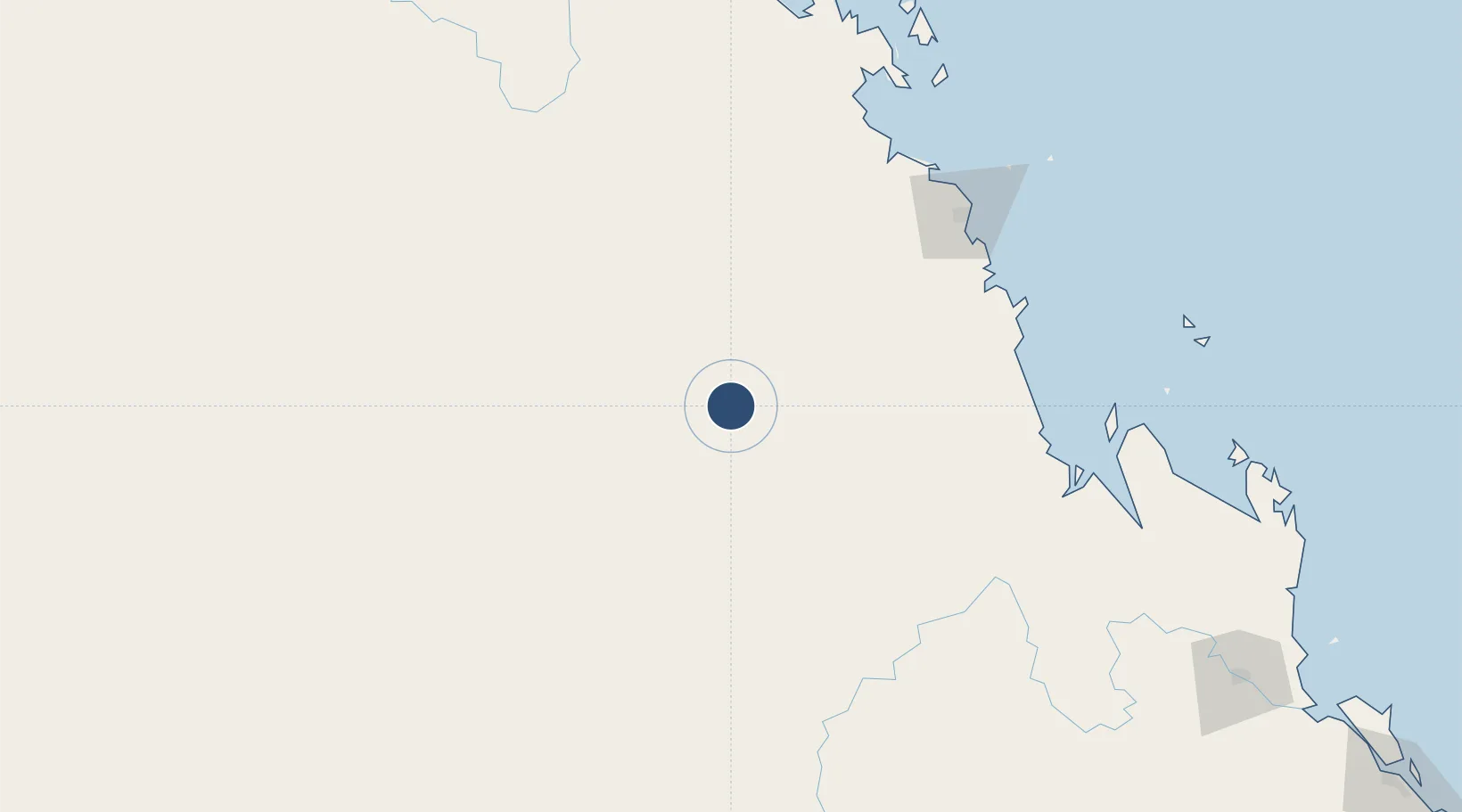
-22.0578°, 148.0770°
5,000 ft
Longest runway
1
Runways
770 ft
Elevation

Runway & Layout

Moranbah Airport runway & taxiway layout
Runway & taxiway layout — OpenStreetMap (ODbL) / OurAirports

Radio Frequencies

CTAF
126.7 MHz
FSS
128.55 MHz
BRISBANE CNTR
OurAirports

Navaids

MRB NDB Moranbah 218 kHz
OurAirports

Runways · 1

RunwayDimensions SurfaceTrue headingLit
16/34 5,000 × 98ft Asphalt 171°
OurAirports

Airport Specifications

IATA code
MOV
OurAirports
ICAO code
YMRB
OurAirports
Airport class
Medium airport
OurAirports
Scheduled service
Yes
OurAirports
Runway surface
Asphalt
OurAirports
Served city
Moranbah
OurAirports

Location

Location of YMRB
Natural Earth 10m (public domain) · Queensland · YMRB · -22.06, 148.08GoogleOSMYandex

Nearby Logistics Neighbours

Airports
  1. 1Dysart Airport69 km
  2. 2Clermont Airport92 km
  3. 3Mackay Airport151 km
  4. 4Emerald Airport168 km
  5. 5Proserpine Whitsunday Coast Airport181 km
Nearest neighbours — logibook spatial index (haversine) over the source coordinates
Cities
  1. 1Pleystowe140 km
  2. 2Mackay149 km
  3. 3Red Hill199 km
  4. 4Abell Point210 km
  5. 5Whitsunday Island223 km
Nearest neighbours — logibook spatial index (haversine) over the source coordinates
Ports
  1. 1Hay Point153 km
  2. 2Mackay158 km
  3. 3Port Alma331 km
  4. 4Townsville337 km
  5. 5Gladstone381 km
Nearest neighbours — logibook spatial index (haversine) over the source coordinates
Trade Zones
  1. 1Paga Hill Estate Special Economic Zone1402 km
  2. 2Ihu Special Economic Zone1601 km
  3. 3Ledger Atlas Special Economic Zone1719 km
  4. 4Nadzab (Momase) Special Economic Zone1725 km
  5. 5Morobe Agricultural Special Economic Zone1730 km
Nearest neighbours — logibook spatial index (haversine) over the source coordinates
DatabookThe Record of Consolidated Knowledge
Australia beyond logistics?
Browse databook

All Sources

AirportsOurAirports
Public domain
Portsthe NGA World Port Index
Public domain (US gov)
LocationsUN/LOCODE
UN/LOCODE — free
Trade Zonesthe World Bank SEZ database
CC BY 4.0
Trade ZonesOpen Zone Map
CC BY
InfrastructureOpenStreetMap
ODbL 1.0
← Australia airports