Medium airport · Australia
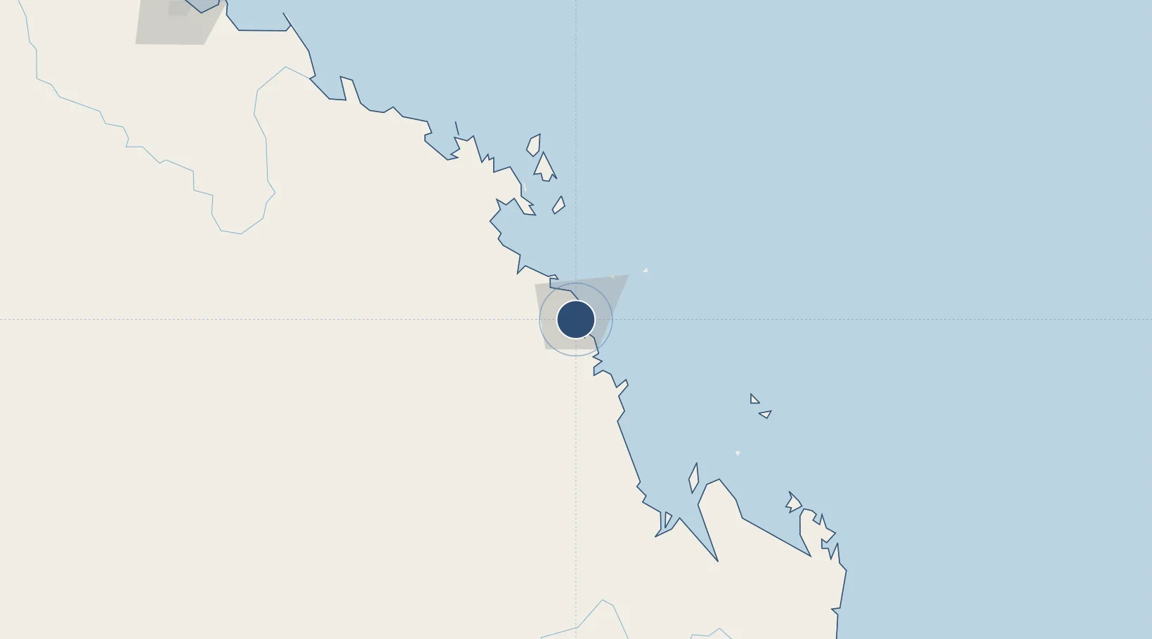
Mackay AirportYBMK

-21.1708°, 149.1826°
6,499 ft
Longest runway
2
Runways
19 ft
Elevation

Runway & Layout

Mackay Airport runway & taxiway layout
Runway & taxiway layout — OpenStreetMap (ODbL) / OurAirports

Radio Frequencies

ATIS
112.7 MHz
TWR
124.5 MHz
CTAF
124.5 MHz
FSS
135.5 MHz
BRISBANE CNTR
OurAirports

Navaids

MK VOR-DME Mackay 112.70 MHz
MK NDB Mackay 308 kHz
OurAirports

Runways · 2

RunwayDimensions SurfaceTrue headingLit
14/32 6,499 × 148ft Asphalt 148°
05/23 4,409 × 98ft Asphalt 058°
OurAirports

Airport Specifications

IATA code
MKY
OurAirports
ICAO code
YBMK
OurAirports
Airport class
Medium airport
OurAirports
Scheduled service
Yes
OurAirports
Runway surface
Asphalt
OurAirports
Served city
Mackay
OurAirports

Location

Location of YBMK
Natural Earth 10m (public domain) · Queensland · YBMK · -21.17, 149.18GoogleOSMYandex

Nearby Logistics Neighbours

Airports
  1. 1Hamilton Island Airport94 km
  2. 2Proserpine Whitsunday Coast Airport100 km
  3. 3Hayman Island Resort Seaplane Base127 km
  4. 4Moranbah Airport151 km
  5. 5Dysart Airport182 km
Nearest neighbours — logibook spatial index (haversine) over the source coordinates
Cities
  1. 1Mackay2 km
  2. 2Pleystowe17 km
  3. 3Whitsunday Island104 km
  4. 4Abell Point112 km
  5. 5Red Hill119 km
Nearest neighbours — logibook spatial index (haversine) over the source coordinates
Ports
  1. 1Mackay7 km
  2. 2Hay Point18 km
  3. 3Port Alma318 km
  4. 4Townsville325 km
  5. 5Gladstone366 km
Nearest neighbours — logibook spatial index (haversine) over the source coordinates
Trade Zones
  1. 1Paga Hill Estate Special Economic Zone1318 km
  2. 2Ihu Special Economic Zone1531 km
  3. 3Ledger Atlas Special Economic Zone1627 km
  4. 4Nadzab (Momase) Special Economic Zone1641 km
  5. 5Morobe Agricultural Special Economic Zone1655 km
Nearest neighbours — logibook spatial index (haversine) over the source coordinates
DatabookThe Record of Consolidated Knowledge
Australia beyond logistics?
Browse databook

All Sources

AirportsOurAirports
Public domain
Portsthe NGA World Port Index
Public domain (US gov)
LocationsUN/LOCODE
UN/LOCODE — free
Trade Zonesthe World Bank SEZ database
CC BY 4.0
Trade ZonesOpen Zone Map
CC BY
InfrastructureOpenStreetMap
ODbL 1.0
← Australia airports