Transport Functions
Port
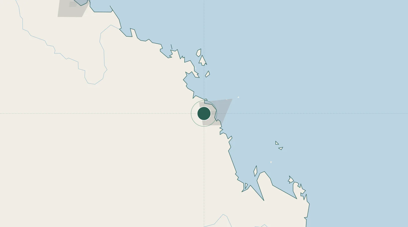
Hub Profile
Place type
Populated place
Region
Queensland
Population
350
Time zone
Australia/Brisbane
Elevation
25 m
Location
Nearby Logistics Neighbours
Cities
- 1Mackay16 km
- 2Whitsunday Island100 km
- 3Abell Point103 km
- 4Red Hill107 km
- 5Abbot Point170 km
Ports
- 1Mackay21 km
- 2Hay Point33 km
- 3Townsville311 km
- 4Port Alma330 km
- 5Gladstone378 km
Airports
- 1Mackay Airport17 km
- 2Proserpine Whitsunday Coast Airport87 km
- 3Hamilton Island Airport88 km
- 4Hayman Island Resort Seaplane Base122 km
- 5Moranbah Airport140 km
Trade Zones
DatabookThe Record of Consolidated Knowledge
Australia beyond logistics?