Transport Functions
Port
Road
Airport
Hub Profile
Place type
Populated place
Region
Queensland
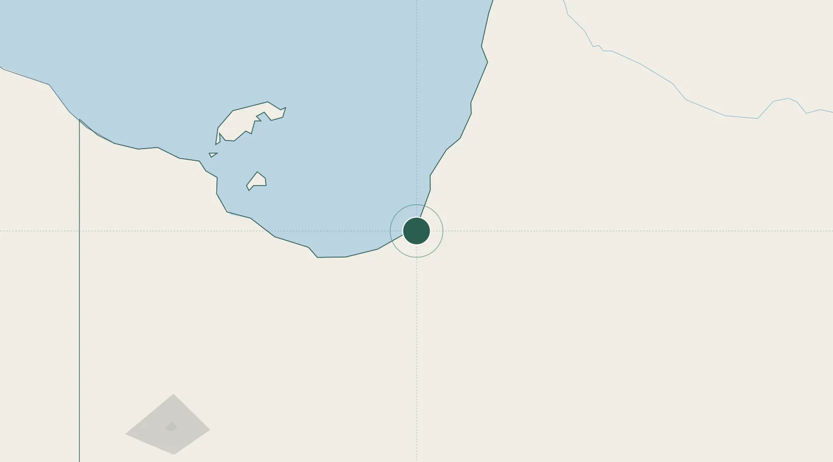
Population
1,275
Time zone
Australia/Brisbane
Elevation
4 m
Location
Nearby Logistics Neighbours
Ports
- 1Cairns530 km
- 2Weipa547 km
- 3Cape Flattery Harbor558 km
- 4Mourilyan Harbour562 km
- 5Lucinda593 km
Airports
- 1Karumba Airport3 km
- 2Normanton Airport34 km
- 3Burketown Airport141 km
- 4Mornington Island Airport198 km
- 5Doomadgee Airport219 km
Trade Zones
DatabookThe Record of Consolidated Knowledge
Australia beyond logistics?