Small airport · Australia

Burketown AirportYBKT
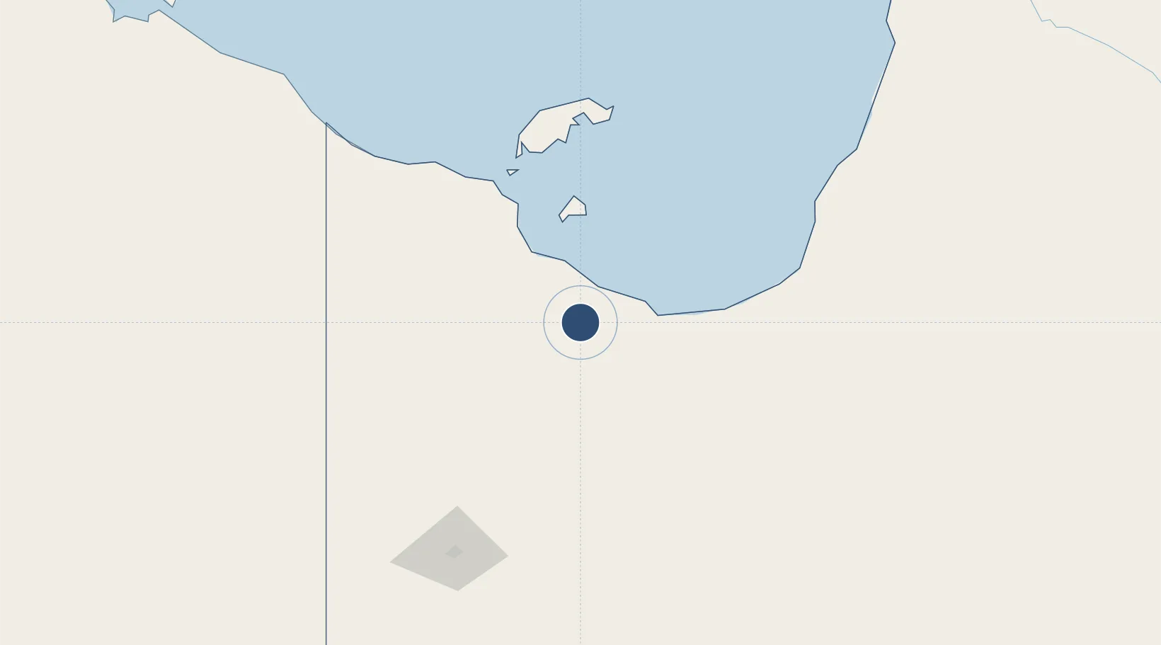
-17.7486°, 139.5340°
4,501 ft
Longest runway
2
Runways
21 ft
Elevation

Runway & Layout

Burketown Airport runway & taxiway layout
Runway & taxiway layout — OpenStreetMap (ODbL) / OurAirports

Radio Frequencies

CTAF
126.7 MHz
FSS
125.7 MHz
BRISBANE CNTR
OurAirports

Navaids

BKT NDB Burketown 236 kHz
OurAirports

Runways · 2

RunwayDimensions SurfaceTrue headingLit
03/21 4,501 × 98ft Asphalt 042°
14/32 2,484 × 98ft Clay 132°
OurAirports

Airport Specifications

IATA code
BUC
OurAirports
ICAO code
YBKT
OurAirports
Airport class
Small airport
OurAirports
Scheduled service
Yes
OurAirports
Runway surface
Asphalt
OurAirports

Location

Location of YBKT
Natural Earth 10m (public domain) · Queensland · YBKT · -17.75, 139.53GoogleOSMYandex

Nearby Logistics Neighbours

Airports
  1. 1Doomadgee Airport78 km
  2. 2Mornington Island Airport127 km
  3. 3Karumba Airport141 km
  4. 4Normanton Airport163 km
  5. 5Mount Isa Airport325 km
Nearest neighbours — logibook spatial index (haversine) over the source coordinates
Cities
  1. 1Burketown2 km
  2. 2Karumba141 km
  3. 3Bing Bong415 km
  4. 4Umbakumba523 km
  5. 5Amrun582 km
Nearest neighbours — logibook spatial index (haversine) over the source coordinates
Ports
  1. 1Karumba141 km
  2. 2Milner Bay545 km
  3. 3Weipa618 km
  4. 4Cairns670 km
  5. 5Gove688 km
Nearest neighbours — logibook spatial index (haversine) over the source coordinates
Trade Zones
  1. 1Western Province Special Economic Zone1206 km
  2. 2Paga Hill Estate Special Economic Zone1233 km
  3. 3Ihu Special Economic Zone1266 km
  4. 4Morobe Agricultural Special Economic Zone1409 km
  5. 5Nadzab (Momase) Special Economic Zone1469 km
Nearest neighbours — logibook spatial index (haversine) over the source coordinates
DatabookThe Record of Consolidated Knowledge
Australia beyond logistics?
Browse databook

All Sources

AirportsOurAirports
Public domain
Portsthe NGA World Port Index
Public domain (US gov)
LocationsUN/LOCODE
UN/LOCODE — free
Trade Zonesthe World Bank SEZ database
CC BY 4.0
Trade ZonesOpen Zone Map
CC BY
InfrastructureOpenStreetMap
ODbL 1.0
← Australia airports