Transport Functions
Port
Hub Profile
Region
NT
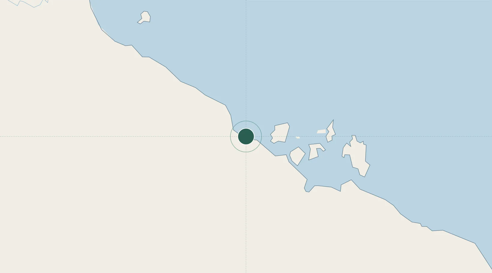
Location
Nearby Logistics Neighbours
Cities
- 1Umbakumba201 km
- 2Gove Harbour378 km
- 3Nhulunbuy383 km
- 4Dhipirrinjura397 km
- 5Langarra406 km
Ports
- 1Milner Bay193 km
- 2Gove380 km
- 3Karumba522 km
- 4Weipa678 km
- 5Darwin688 km
Airports
- 1McArthur River Mine Airport98 km
- 2Groote Eylandt Airport181 km
- 3Ngukurr Airport198 km
- 4Mornington Island Airport324 km
- 5Lake Evella Airport350 km
Trade Zones
- 1Western Province Special Economic Zone1049 km
- 2Ihu Special Economic Zone1304 km
- 3Paga Hill Estate Special Economic Zone1354 km
- 4Sandaun Special Economic Zone1385 km
- 5Sepik Special Economic Zone1405 km
DatabookThe Record of Consolidated Knowledge
Australia beyond logistics?