Medium airport · Australia

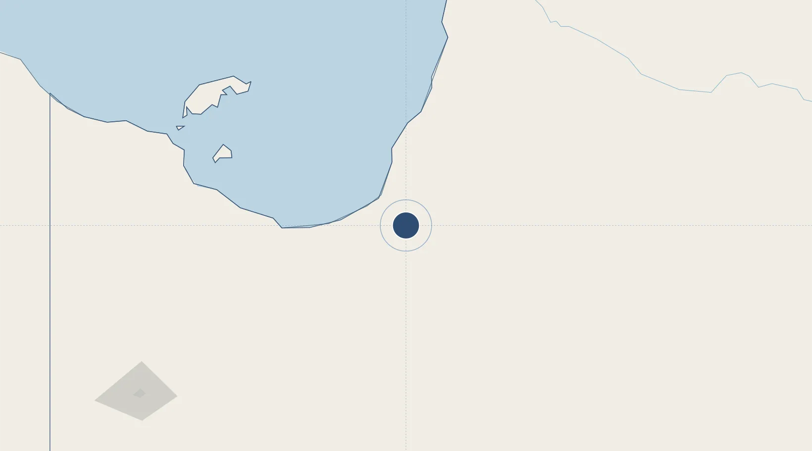
Normanton AirportYNTN

-17.6841°, 141.0697°
5,499 ft
Longest runway
1
Runways
73 ft
Elevation

Runway & Layout

Normanton Airport runway & taxiway layout
Runway & taxiway layout — OpenStreetMap (ODbL) / OurAirports

Radio Frequencies

CTAF
126.7 MHz
FSS
118.6 MHz
BRISBANE CNTR
OurAirports

Navaids

NTN NDB Normanton 311 kHz
OurAirports

Runways · 1

RunwayDimensions SurfaceTrue headingLit
14/32 5,499 × 98ft Asphalt 146°
OurAirports

Airport Specifications

IATA code
NTN
OurAirports
ICAO code
YNTN
OurAirports
Airport class
Medium airport
OurAirports
Scheduled service
Yes
OurAirports
Runway surface
Asphalt
OurAirports
Served city
Normanton
OurAirports

Location

Location of YNTN
Natural Earth 10m (public domain) · Queensland · YNTN · -17.68, 141.07GoogleOSMYandex

Nearby Logistics Neighbours

Airports
  1. 1Karumba Airport36 km
  2. 2Burketown Airport163 km
  3. 3Mornington Island Airport231 km
  4. 4Doomadgee Airport240 km
  5. 5Kowanyama Airport255 km
Nearest neighbours — logibook spatial index (haversine) over the source coordinates
Cities
  1. 1Karumba34 km
  2. 2Burketown163 km
  3. 3Atherton469 km
  4. 4Hillcrest482 km
  5. 5Cairns504 km
Nearest neighbours — logibook spatial index (haversine) over the source coordinates
Ports
  1. 1Karumba34 km
  2. 2Cairns508 km
  3. 3Mourilyan Harbour537 km
  4. 4Cape Flattery Harbor549 km
  5. 5Lucinda564 km
Nearest neighbours — logibook spatial index (haversine) over the source coordinates
Trade Zones
  1. 1Paga Hill Estate Special Economic Zone1123 km
  2. 2Ihu Special Economic Zone1185 km
  3. 3Western Province Special Economic Zone1202 km
  4. 4Morobe Agricultural Special Economic Zone1330 km
  5. 5Nadzab (Momase) Special Economic Zone1381 km
Nearest neighbours — logibook spatial index (haversine) over the source coordinates
DatabookThe Record of Consolidated Knowledge
Australia beyond logistics?
Browse databook

All Sources

AirportsOurAirports
Public domain
Portsthe NGA World Port Index
Public domain (US gov)
LocationsUN/LOCODE
UN/LOCODE — free
Trade Zonesthe World Bank SEZ database
CC BY 4.0
Trade ZonesOpen Zone Map
CC BY
InfrastructureOpenStreetMap
ODbL 1.0
← Australia airports