Small airport · Australia

Mornington Island AirportYMTI
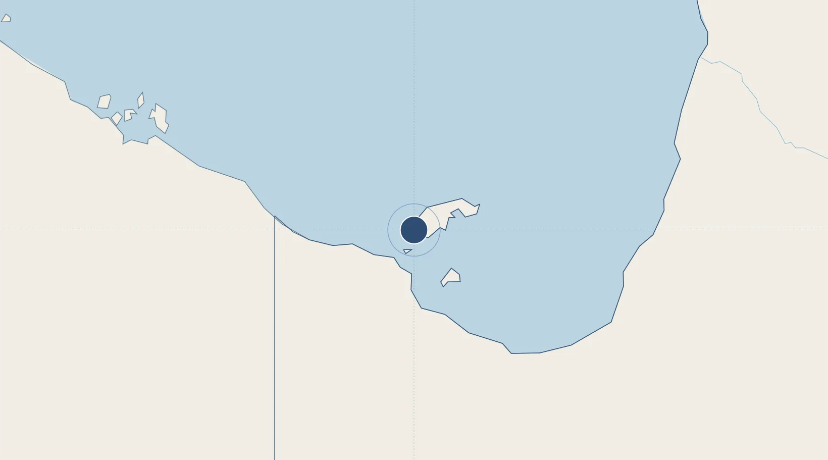
-16.6625°, 139.1780°
4,987 ft
Longest runway
2
Runways
33 ft
Elevation

Runway & Layout

Mornington Island Airport runway & taxiway layout
Runway & taxiway layout — OpenStreetMap (ODbL) / OurAirports

Radio Frequencies

CTAF
126.7 MHz
FSS
125.7 MHz
BRISBANE CNTR
OurAirports

Navaids

MTI NDB Mornington Island 416 kHz
OurAirports

Runways · 2

RunwayDimensions SurfaceTrue headingLit
09/27 4,987 × 98ft Permanent 098°
12/30 2,480 × 59ft Gravel 135°
OurAirports

Airport Specifications

IATA code
ONG
OurAirports
ICAO code
YMTI
OurAirports
Airport class
Small airport
OurAirports
Scheduled service
Yes
OurAirports
Runway surface
Permanent
OurAirports

Location

Location of YMTI
Natural Earth 10m (public domain) · Queensland · YMTI · -16.66, 139.18GoogleOSMYandex

Nearby Logistics Neighbours

Airports
  1. 1Burketown Airport127 km
  2. 2Doomadgee Airport147 km
  3. 3Karumba Airport197 km
  4. 4Normanton Airport231 km
  5. 5Kowanyama Airport305 km
Nearest neighbours — logibook spatial index (haversine) over the source coordinates
Cities
  1. 1Burketown125 km
  2. 2Karumba198 km
  3. 3Bing Bong324 km
  4. 4Umbakumba404 km
  5. 5Amrun492 km
Nearest neighbours — logibook spatial index (haversine) over the source coordinates
Ports
  1. 1Karumba198 km
  2. 2Milner Bay429 km
  3. 3Weipa530 km
  4. 4Gove563 km
  5. 5Cape Flattery Harbor687 km
Nearest neighbours — logibook spatial index (haversine) over the source coordinates
Trade Zones
  1. 1Western Province Special Economic Zone1089 km
  2. 2Paga Hill Estate Special Economic Zone1175 km
  3. 3Ihu Special Economic Zone1185 km
  4. 4Morobe Agricultural Special Economic Zone1326 km
  5. 5Nadzab (Momase) Special Economic Zone1393 km
Nearest neighbours — logibook spatial index (haversine) over the source coordinates
DatabookThe Record of Consolidated Knowledge
Australia beyond logistics?
Browse databook

All Sources

AirportsOurAirports
Public domain
Portsthe NGA World Port Index
Public domain (US gov)
LocationsUN/LOCODE
UN/LOCODE — free
Trade Zonesthe World Bank SEZ database
CC BY 4.0
Trade ZonesOpen Zone Map
CC BY
InfrastructureOpenStreetMap
ODbL 1.0
← Australia airports