Transport Functions
Port
Road
Airport
Hub Profile
Place type
Populated place
Region
Queensland
Population
376
Time zone
Australia/Brisbane
Elevation
7 m
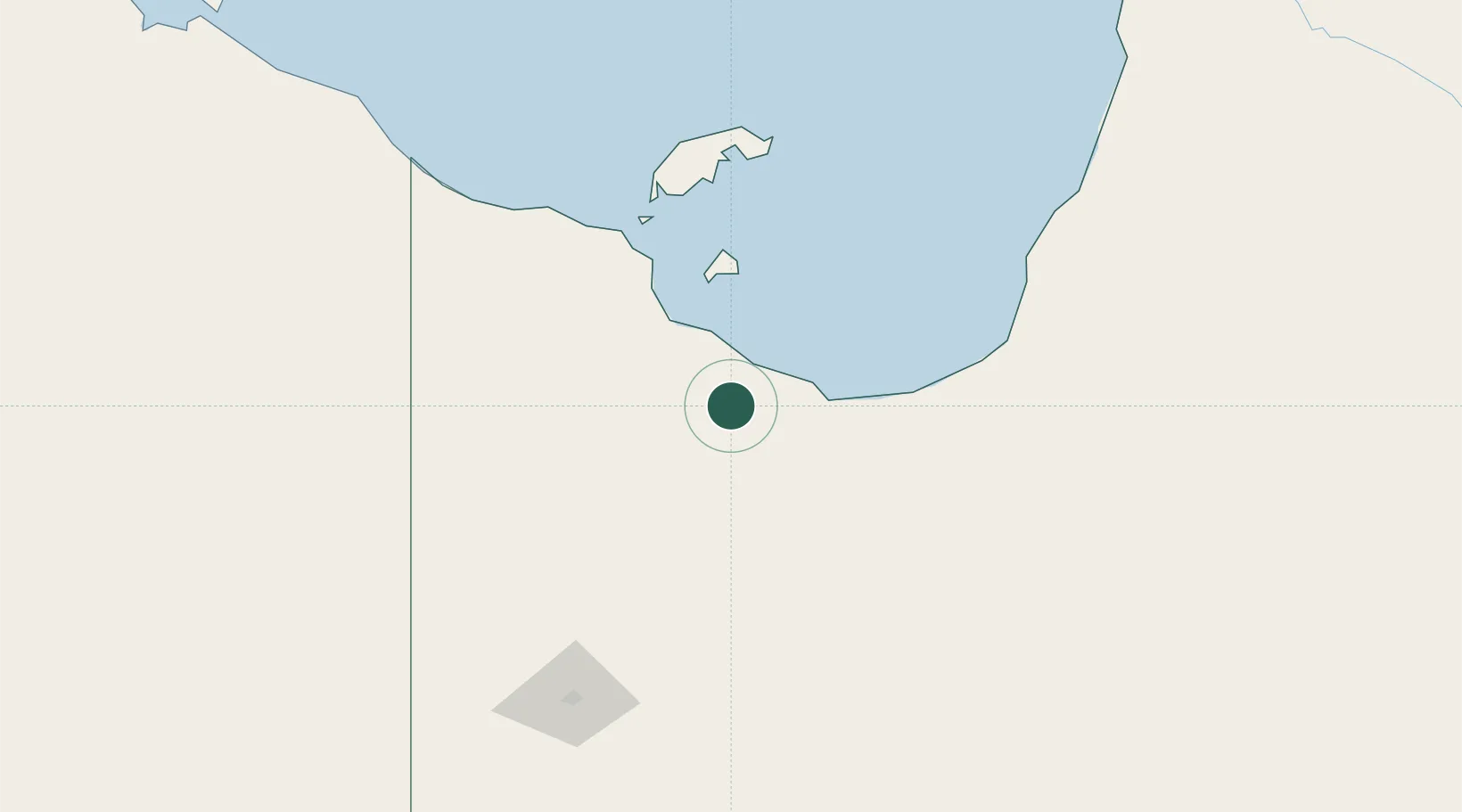
Location
Nearby Logistics Neighbours
Cities
- 1Karumba141 km
- 2Bing Bong414 km
- 3Umbakumba522 km
- 4Amrun580 km
- 5Evans Landing616 km
Ports
- 1Karumba141 km
- 2Milner Bay544 km
- 3Weipa617 km
- 4Cairns670 km
- 5Gove686 km
Airports
- 1Burketown Airport2 km
- 2Doomadgee Airport79 km
- 3Mornington Island Airport125 km
- 4Karumba Airport141 km
- 5Normanton Airport163 km
Trade Zones
DatabookThe Record of Consolidated Knowledge
Australia beyond logistics?