Transport Functions
Port
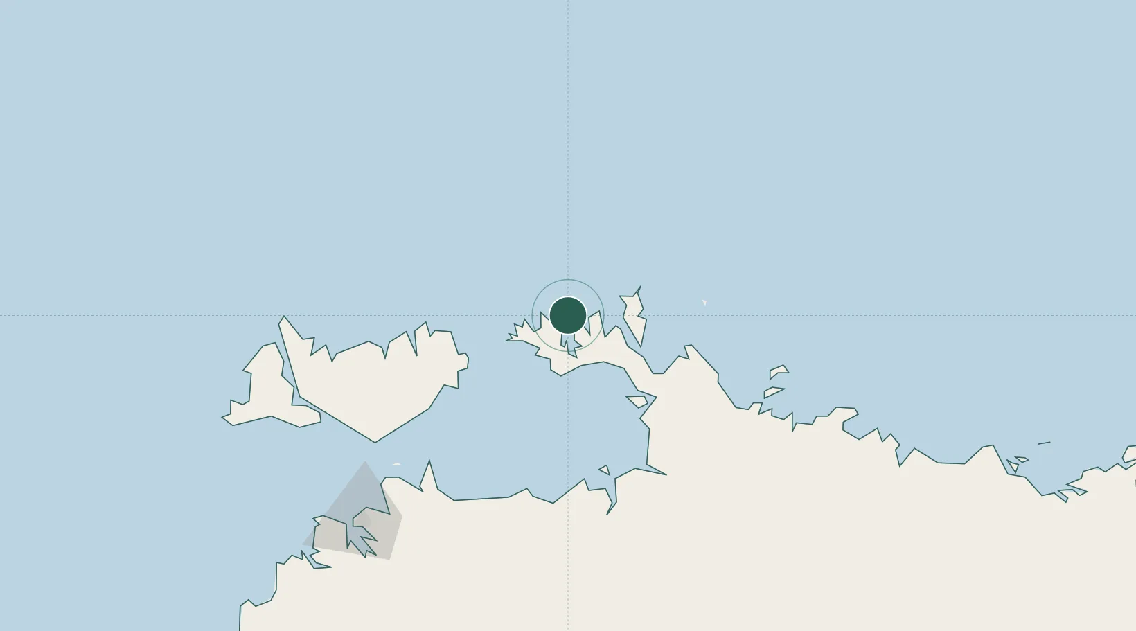
Hub Profile
Place type
Populated place
Region
South Australia
Population
47
Time zone
Australia/Adelaide
Elevation
6 m
Location
Nearby Logistics Neighbours
Cities
- 1Raffles Bay29 km
- 2Cape Don47 km
- 3Melville Island140 km
- 4Winnellie198 km
- 5Darwin201 km
Ports
- 1Darwin204 km
- 2Saumlaki364 km
- 3Gove509 km
- 4Milner Bay553 km
- 5Wyndham650 km
Airports
- 1Snake Bay Airport166 km
- 2Bathurst Island Airport181 km
- 3Garden Point Airport190 km
- 4Darwin International Airport / RAAF Darwin197 km
- 5Maningrida Airport248 km
Trade Zones
DatabookThe Record of Consolidated Knowledge
Australia beyond logistics?