UN/LOCODE hub · Australia
AUDON

Cape Don

-11.3167°, 131.7500°
1
Transport functions

Transport Functions

Port
UN/LOCODE

Hub Profile

Region
NT
GeoNames

Location

Location of AUDON
Natural Earth 10m (public domain) · NT · AUDON · -11.32, 131.75GoogleOSMYandex

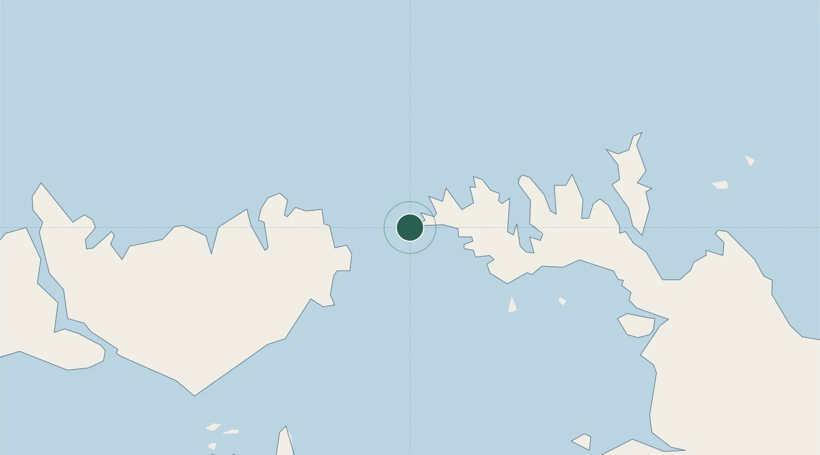
Nearby Logistics Neighbours

Cities
  1. 1Black Point47 km
  2. 2Raffles Bay69 km
  3. 3Melville Island93 km
  4. 4Winnellie156 km
  5. 5Darwin159 km
Nearest neighbours — logibook spatial index (haversine) over the source coordinates
Ports
  1. 1Darwin162 km
  2. 2Saumlaki374 km
  3. 3Gove548 km
  4. 4Milner Bay580 km
  5. 5Wyndham607 km
Nearest neighbours — logibook spatial index (haversine) over the source coordinates
Airports
  1. 1Snake Bay Airport121 km
  2. 2Bathurst Island Airport133 km
  3. 3Garden Point Airport145 km
  4. 4Darwin International Airport / RAAF Darwin154 km
  5. 5Maningrida Airport283 km
Nearest neighbours — logibook spatial index (haversine) over the source coordinates
Trade Zones
  1. 1Atauro Special Economic Zone756 km
  2. 2Oecusse Ambeno Enclave Special Zone For Social Market Economy (Zeesm)844 km
  3. 3Western Province Special Economic Zone1039 km
  4. 4KEK Sorong1145 km
  5. 5Sandaun Special Economic Zone1299 km
Nearest neighbours — logibook spatial index (haversine) over the source coordinates
DatabookThe Record of Consolidated Knowledge
Australia beyond logistics?
Browse databook

All Sources

LocationsUN/LOCODE
UN/LOCODE — free
Portsthe NGA World Port Index
Public domain (US gov)
AirportsOurAirports
Public domain
Trade Zonesthe World Bank SEZ database
CC BY 4.0
Trade ZonesOpen Zone Map
CC BY
← Australia locations