Channel & Berth Profile
Pilotage, Tugs & Services
Pilotage compulsoryYES
Pilotage availableYES
Pilotage advisableYES
Tug assistanceYES
Shore powerYES
Potable waterYES
Diesel bunkersNO
MedicalYES
Garbage disposalNO
Facilities & Capabilities
Container—
Ro-Ro—
Liquid bulk—
Dry bulk—
Oil terminal—
Break bulk—
Dry dock—
RepairsNO
BunkeringNO
Rail link—
Dangerous cargo—
ISPS security—
Harbour Specifications
Harbour size
Very Small
Harbour type
Open Roadstead
Shelter
Poor
Water body
Arafura Sea; South Pacific Ocean
Tidal range
2 m
Overhead limit
Yes
Pilotage
Yes
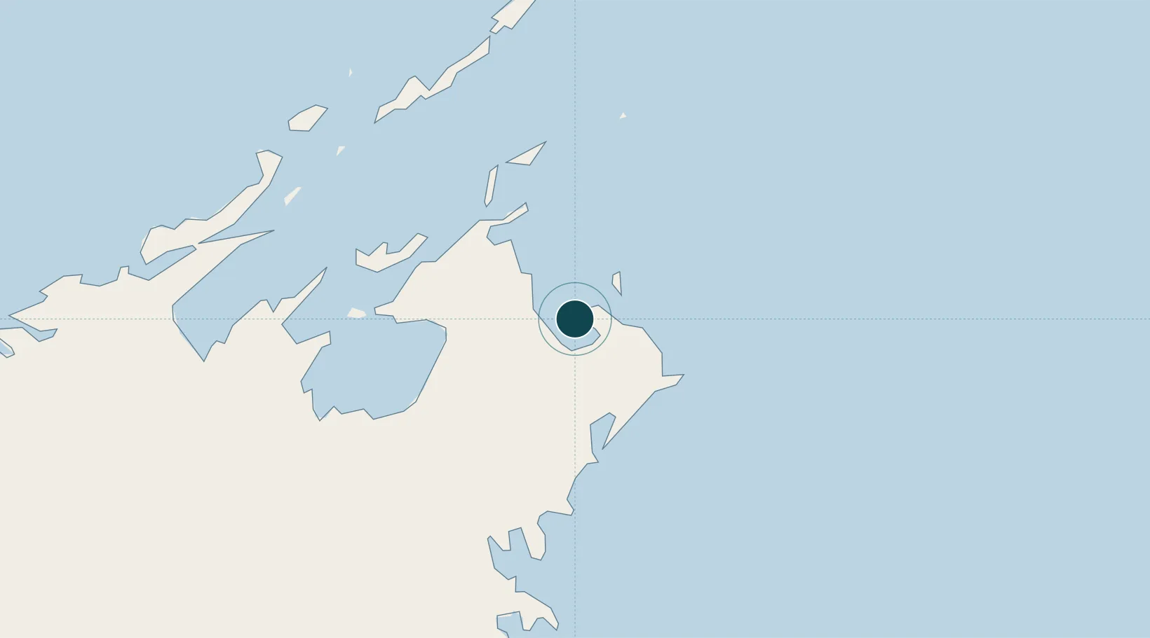
Location
Nearby Logistics Neighbours
Ports
- 1Milner Bay188 km
- 2Weipa563 km
- 3Merauke577 km
- 4Thursday Island628 km
- 5Darwin636 km
Cities
- 1Gove Harbour4 km
- 2Nhulunbuy9 km
- 3Elizabeth Bay37 km
- 4Langarra147 km
- 5Dhipirrinjura176 km
Airports
- 1Gove Airport15 km
- 2Lake Evella Airport103 km
- 3Elcho Island Airport124 km
- 4Ramingining Airport197 km
- 5Milingimbi Airport197 km
Trade Zones
- 1Western Province Special Economic Zone696 km
- 2Sandaun Special Economic Zone1025 km
- 3Sepik Special Economic Zone1054 km
- 4Ihu Special Economic Zone1065 km
- 5Vanimo Special Economic Zone1172 km
DatabookThe Record of Consolidated Knowledge
Australia beyond logistics?