Seaport · Angola

Kuito Oil FieldAOKOT

-5.4667°, 11.5000°
23.2 m
Channel depth
Kuito Oil Field is also a UN/LOCODE logistics hub →

Channel & Berth Profile

SEA LEVEL (CD)CHANNEL BEDChannel · 23.2 mAnchorage · 23.2 mOil terminal · 600.0 m
NGA World Port Index

Pilotage, Tugs & Services

Pilotage compulsoryYES
Pilotage availableYES
Pilotage advisableYES
Tug assistanceYES
Potable waterNO
MedicalYES
Garbage disposalNO
NGA World Port Index

Facilities & Capabilities

Container
Ro-Ro
Liquid bulk
Dry bulk
Oil terminal
Break bulk
Dry dock
Repairs
BunkeringNO
Rail link
Dangerous cargo
ISPS security
NGA World Port Index

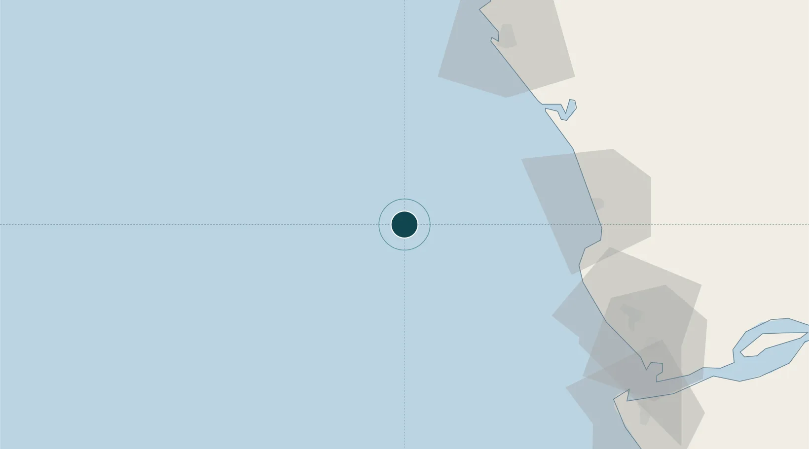
Harbour Specifications

Harbour size
Very Small
NGA World Port Index
Harbour type
Open Roadstead
NGA World Port Index
Shelter
Poor
NGA World Port Index
Water body
South Atlantic Ocean
NGA World Port Index
Overhead limit
No
NGA World Port Index
Pilotage
Yes
NGA World Port Index

Location

Location of AOKOT
Natural Earth 10m (public domain) · Kiribati · AOKOT · -5.47, 11.50GoogleOSMYandex

Nearby Logistics Neighbours

Ports
  1. 1N'kossa Terminal23 km
  2. 2Takula Terminal42 km
  3. 3Malongo Oil Terminal65 km
  4. 4Djeno Terminal74 km
  5. 5Futila Terminal76 km
Nearest neighbours — logibook spatial index (haversine) over the source coordinates
Cities
  1. 1Futila Terminal76 km
  2. 2Cabinda79 km
  3. 3Pointe Noire84 km
  4. 4Soyo117 km
  5. 5Sazaire Terminal119 km
Nearest neighbours — logibook spatial index (haversine) over the source coordinates
Airports
  1. 1Cabinda Airport78 km
  2. 2Antonio Agostinho-Neto International Airport84 km
  3. 3Soyo Airport122 km
  4. 4Ngot Nzoungou Airport190 km
  5. 5Mbanza Congo Airport317 km
Nearest neighbours — logibook spatial index (haversine) over the source coordinates
Trade Zones
  1. 1Fútila Industrial Development Pole79 km
  2. 2Pointe-Noire Special Economic Zone84 km
  3. 3Brazzaville Special Economic Zone408 km
  4. 4Boumango Special Economic Zone431 km
  5. 5Luanda-Bengo Special Economic Zone439 km
Nearest neighbours — logibook spatial index (haversine) over the source coordinates
DatabookThe Record of Consolidated Knowledge
Angola beyond logistics?
Browse databook

All Sources

Portsthe NGA World Port Index
Public domain (US gov)
AirportsOurAirports
Public domain
LocationsUN/LOCODE
UN/LOCODE — free
Trade Zonesthe World Bank SEZ database
CC BY 4.0
Trade ZonesOpen Zone Map
CC BY
← Angola ports