UN/LOCODE hub · Congo - Brazzaville
CGPNR
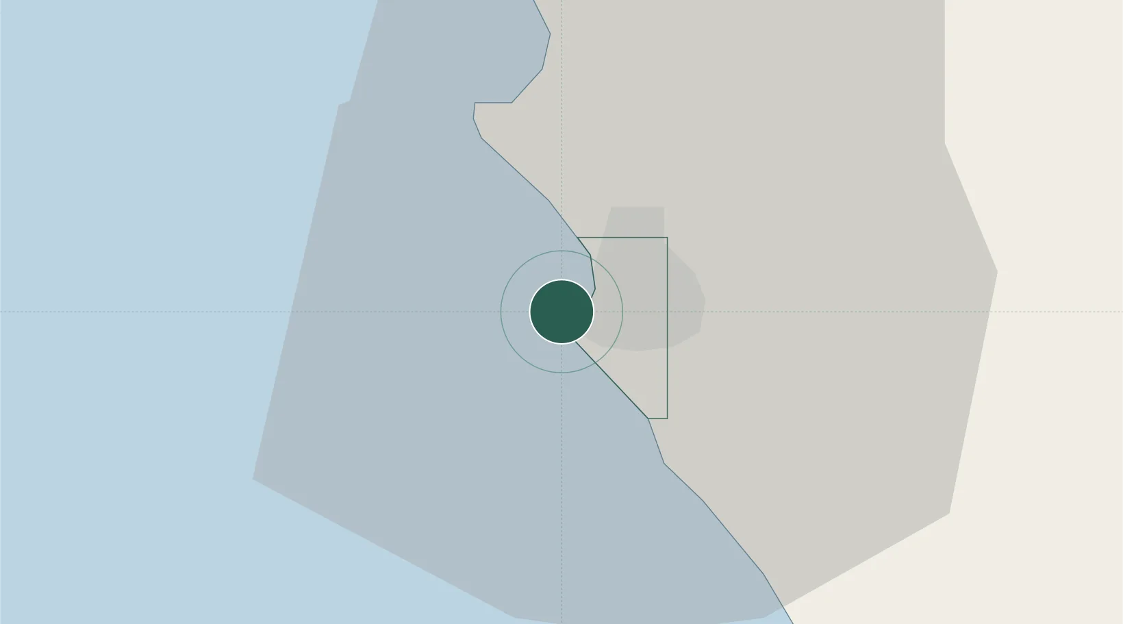
Pointe Noire
-4.7884°, 11.8321°
1,032,000
Population
3
Transport functions
Transport Functions
Port
Airport
Postal
Hub Profile
Place type
Regional capital
Region
Pointe-Noire
Population
1,032,000
Time zone
Africa/Brazzaville
Elevation
12 m
Logistics facilities
5
Location
Nearby Logistics Neighbours
Cities
- 1Kuito Terminal82 km
- 2Futila Terminal83 km
- 3Cabinda95 km
- 4Dolisie114 km
- 5Sazaire Terminal156 km
Ports
- 1Djeno Terminal18 km
- 2Takula Terminal48 km
- 3N'kossa Terminal61 km
- 4Malongo Oil Terminal77 km
- 5Futila Terminal83 km
Airports
- 1Antonio Agostinho-Neto International Airport7 km
- 2Cabinda Airport98 km
- 3Ngot Nzoungou Airport112 km
- 4Soyo Airport162 km
- 5Gamba Airport298 km
Trade Zones
DatabookThe Record of Consolidated Knowledge
Congo - Brazzaville beyond logistics?