Transport Functions
Multimodal
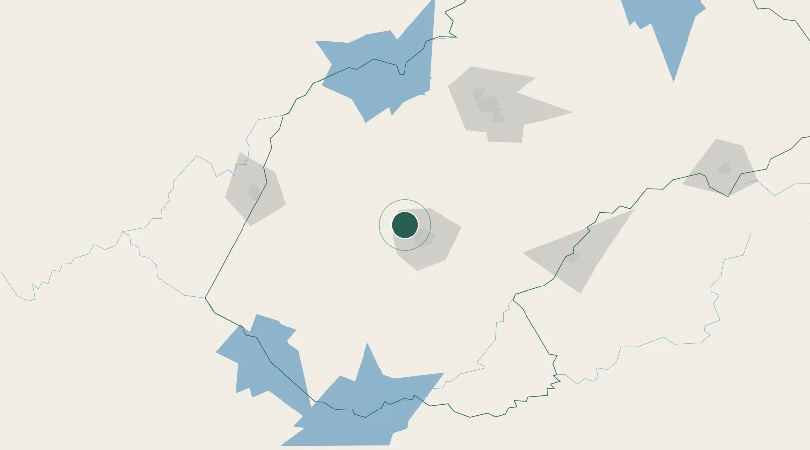
Hub Profile
Place type
Populated place
Region
Free State
Time zone
Africa/Johannesburg
Elevation
1,339 m
Location
Nearby Logistics Neighbours
Cities
- 1Bloemfontein Industria16 km
- 2Dan Pienaar16 km
- 3Bloemfontein18 km
- 4Roodekop71 km
- 5Marquard139 km
Ports
- 1East London480 km
- 2Durban493 km
- 3Port Elizabeth550 km
- 4Richards Bay588 km
- 5Mossel Bay683 km
Airports
- 1Bram Fischer International Airport24 km
- 2Kimberley Airport129 km
- 3Moshoeshoe I International Airport152 km
- 4Ficksburg Sentraoes Airport181 km
- 5P C Pelser Airport247 km
Trade Zones
DatabookThe Record of Consolidated Knowledge
South Africa beyond logistics?