Export Processing Zone · South Africa

Botshabelo Industrial Park Under Development
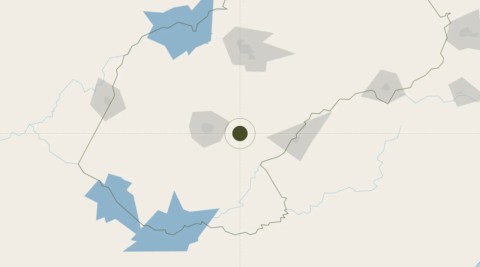
-29.2033°, 26.7015°
442 ha
Zone area
428.7 km
Nearest port
40.7 km
Nearest airport

Gateway access

Nearest neighbours — logibook spatial index (haversine) over the source coordinates

Zone profile

Zone type
Export Processing Zone
Open Zone Map
Region
Free State
Open Zone Map
Status
Under Development
Open Zone Map
Management
Public
Open Zone Map
Operator
Department of Trade & Industry
Open Zone Map
Legal framework
Special Economic Zones Act No.16 of 2014
Open Zone Map

Location

Location of ozm-4157
Natural Earth 10m (public domain) · Free State · ozm-4157 · -29.20, 26.70GoogleOSMYandex

Nearby Logistics Neighbours

Ports
  1. 1Durban429 km
  2. 2East London441 km
  3. 3Richards Bay527 km
  4. 4Port Elizabeth538 km
  5. 5Maputo679 km
Nearest neighbours — logibook spatial index (haversine) over the source coordinates
Airports
  1. 1Bram Fischer International Airport41 km
  2. 2Moshoeshoe I International Airport87 km
  3. 3Ficksburg Sentraoes Airport125 km
  4. 4Kimberley Airport194 km
  5. 5Harrismith Airport258 km
Nearest neighbours — logibook spatial index (haversine) over the source coordinates
Cities
  1. 1Roodekop7 km
  2. 2Dan Pienaar49 km
  3. 3Bloemfontein49 km
  4. 4Bloemfontein Industria51 km
  5. 5Kayalami65 km
Nearest neighbours — logibook spatial index (haversine) over the source coordinates
Trade Zones
  1. 1Thetsane Industrial Area75 km
  2. 2Mafeteng Special Economic Zone85 km
  3. 3Nyenye Industrial Area122 km
  4. 4Maluti-A-Phofung Special Economic Zone248 km
  5. 5Vaal Special Economic Zone299 km
Nearest neighbours — logibook spatial index (haversine) over the source coordinates
DatabookThe Record of Consolidated Knowledge
South Africa beyond logistics?
Browse databook

All Sources

Trade ZonesOpen Zone Map
CC BY
Portsthe NGA World Port Index
Public domain (US gov)
AirportsOurAirports
Public domain
LocationsUN/LOCODE
UN/LOCODE — free
← South Africa trade zones