Transport Functions
Multimodal
Hub Profile
Place type
Urban district
Region
Free State
Time zone
Africa/Johannesburg
Elevation
1,445 m
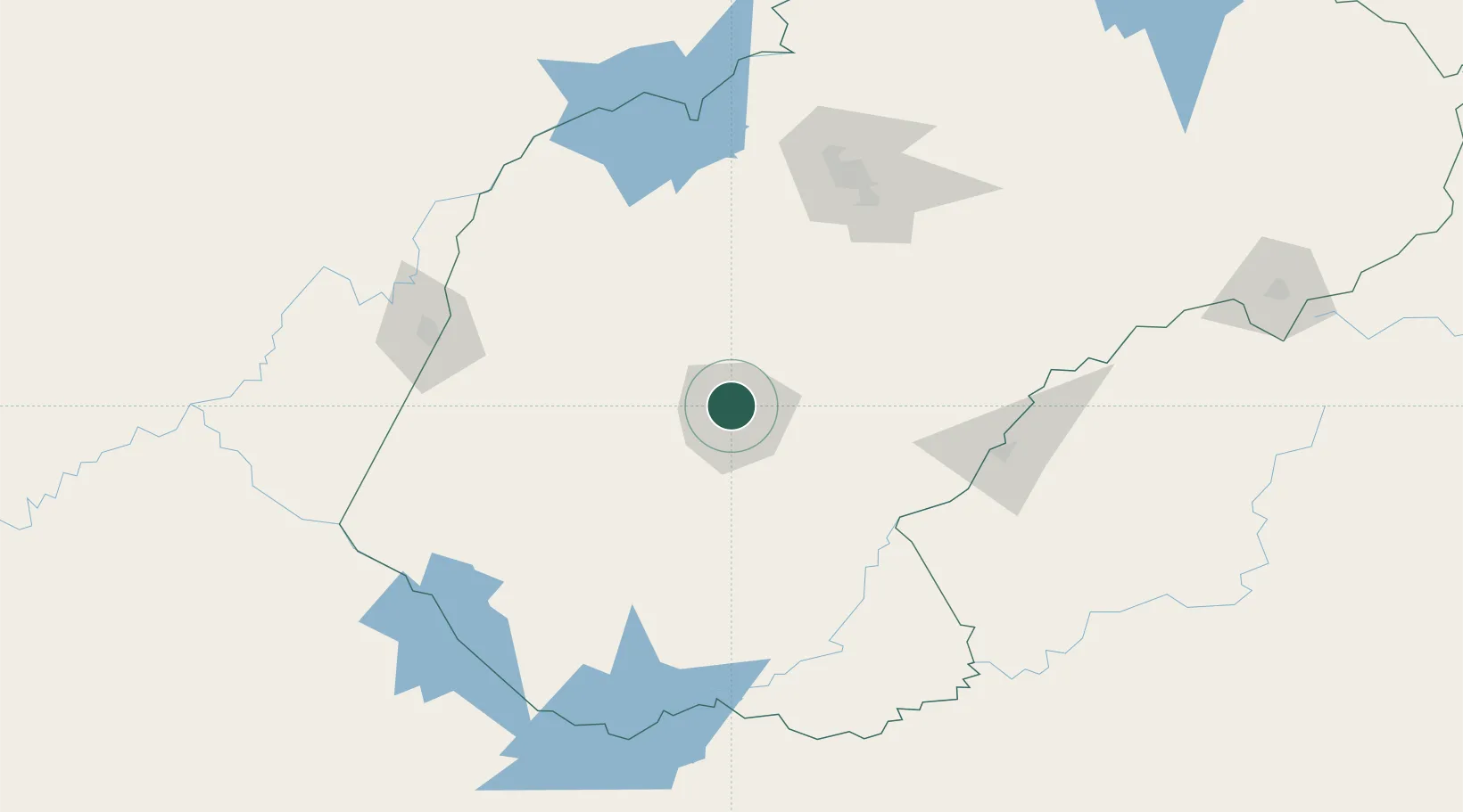
Location
Nearby Logistics Neighbours
Cities
- 1Bloemfontein Industria5 km
- 2Bloemfontein6 km
- 3Kayalami16 km
- 4Roodekop55 km
- 5Marquard127 km
Ports
- 1East London468 km
- 2Durban478 km
- 3Port Elizabeth544 km
- 4Richards Bay573 km
- 5Mossel Bay685 km
Airports
- 1Bram Fischer International Airport8 km
- 2Moshoeshoe I International Airport136 km
- 3Kimberley Airport145 km
- 4Ficksburg Sentraoes Airport167 km
- 5P C Pelser Airport251 km
Trade Zones
DatabookThe Record of Consolidated Knowledge
South Africa beyond logistics?