UN/LOCODE hub · South Africa
ZAZAL

Bloemfontein Industria

-29.1167°, 26.1833°
1
Transport functions

Transport Functions

Multimodal
UN/LOCODE

Hub Profile

Region
FS
GeoNames

Location

Location of ZAZAL
Natural Earth 10m (public domain) · FS · ZAZAL · -29.12, 26.18GoogleOSMYandex

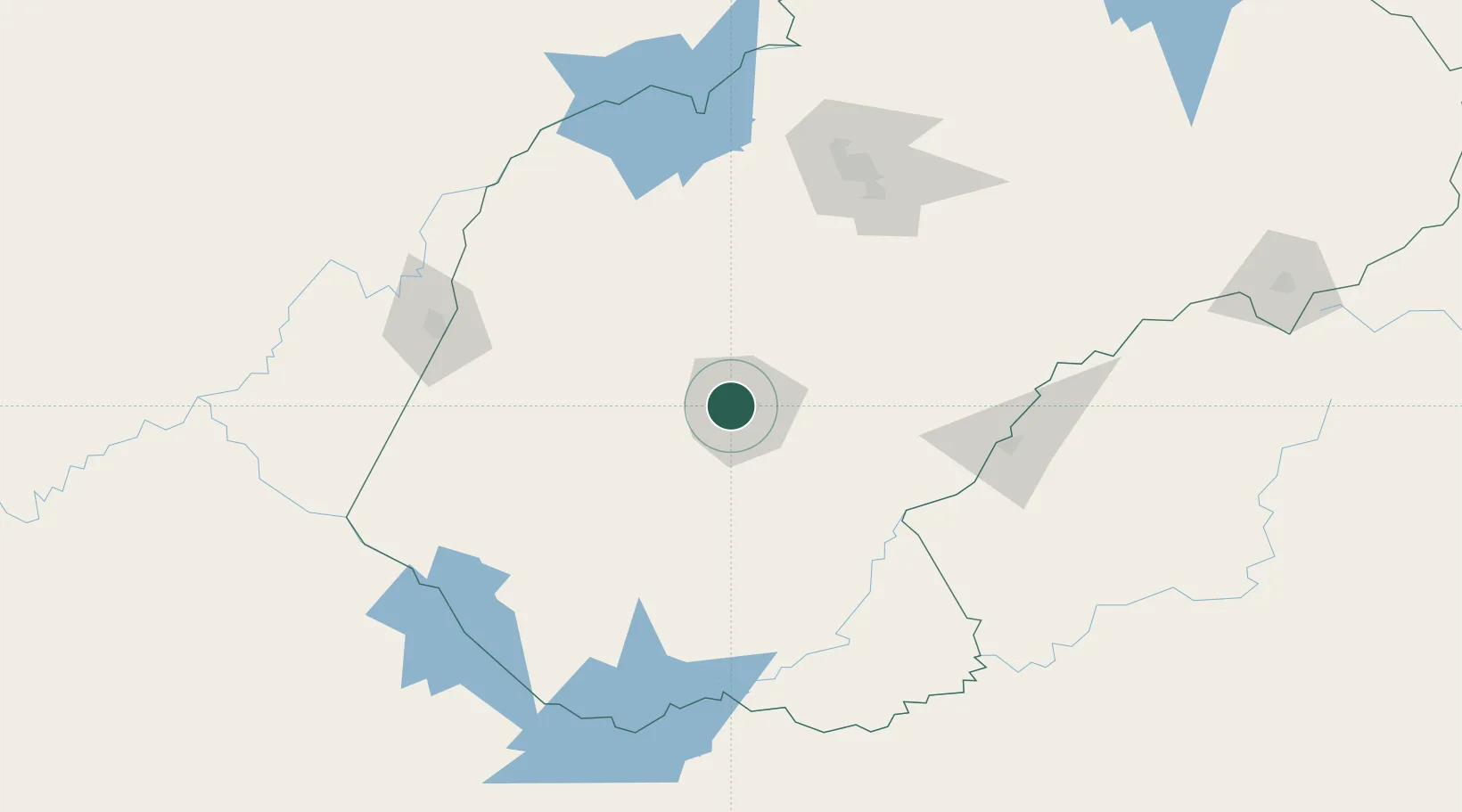
Nearby Logistics Neighbours

Cities
  1. 1Bloemfontein3 km
  2. 2Dan Pienaar5 km
  3. 3Kayalami16 km
  4. 4Roodekop57 km
  5. 5Marquard132 km
Nearest neighbours — logibook spatial index (haversine) over the source coordinates
Ports
  1. 1East London466 km
  2. 2Durban480 km
  3. 3Port Elizabeth540 km
  4. 4Richards Bay576 km
  5. 5Mossel Bay680 km
Nearest neighbours — logibook spatial index (haversine) over the source coordinates
Airports
  1. 1Bram Fischer International Airport12 km
  2. 2Moshoeshoe I International Airport138 km
  3. 3Kimberley Airport142 km
  4. 4Ficksburg Sentraoes Airport171 km
  5. 5P C Pelser Airport255 km
Nearest neighbours — logibook spatial index (haversine) over the source coordinates
Trade Zones
  1. 1Botshabelo Industrial Park51 km
  2. 2Thetsane Industrial Area126 km
  3. 3Mafeteng Special Economic Zone127 km
  4. 4Nyenye Industrial Area170 km
  5. 5Maluti-A-Phofung Special Economic Zone292 km
Nearest neighbours — logibook spatial index (haversine) over the source coordinates
DatabookThe Record of Consolidated Knowledge
South Africa beyond logistics?
Browse databook

All Sources

LocationsUN/LOCODE
UN/LOCODE — free
Portsthe NGA World Port Index
Public domain (US gov)
AirportsOurAirports
Public domain
Trade Zonesthe World Bank SEZ database
CC BY 4.0
Trade ZonesOpen Zone Map
CC BY
← South Africa locations