Large airport · South Africa
Kimberley AirportFAKM
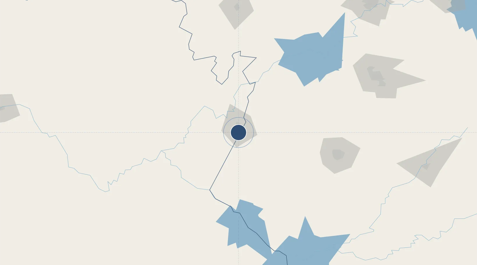
-28.8054°, 24.7649°
9,843 ft
Longest runway
2
Runways
3,950 ft
Elevation
Runway & Layout

Radio Frequencies
TWR
118.6 MHz
APP
119.4 MHz
BLOEMFONTEIN APP
GTE
122.65 MHz
APRON
Navaids
KM NDB Kimberley 365 kHz
KYV VOR-DME Kimberley 113.20 MHz
Runways · 2
| Runway | Dimensions | Surface | True heading | Lit |
|---|---|---|---|---|
| 02/20 | 9,843 × 148ft | Asphalt | 359° | ✓ |
| 10/28 | 8,002 × 148ft | Asphalt | 080° | ✓ |
Airport Specifications
IATA code
KIM
ICAO code
FAKM
Airport class
Large airport
Scheduled service
Yes
Runway surface
Asphalt
Served city
Kimberley
Location
Nearby Logistics Neighbours
Airports
- 1Lime Acres Finsch Mine Airport139 km
- 2Bram Fischer International Airport153 km
- 3Johan Pienaar Airport200 km
- 4Vryburg Airport203 km
- 5Sishen Airport216 km
Cities
- 1Pelindaba78 km
- 2Hartswater116 km
- 3Kayalami129 km
- 4Bloemfontein Industria142 km
- 5Bloemfontein144 km
Ports
- 1East London558 km
- 2Port Elizabeth578 km
- 3Durban622 km
- 4Mossel Bay647 km
- 5Richards Bay714 km
Trade Zones
- 1Botshabelo Industrial Park194 km
- 2Mafeteng Special Economic Zone264 km
- 3Thetsane Industrial Area269 km
- 4Nyenye Industrial Area307 km
- 5Upington Special Economic Zone347 km
DatabookThe Record of Consolidated Knowledge
South Africa beyond logistics?