UN/LOCODE hub · South Africa
ZABFN
Bloemfontein
-29.1333°, 26.2000°
556,637
Population
4
Transport functions
Transport Functions
Rail
Road
Airport
Postal
Hub Profile
Place type
Regional capital
Region
Free State
Population
556,637
Time zone
Africa/Johannesburg
Elevation
1,396 m
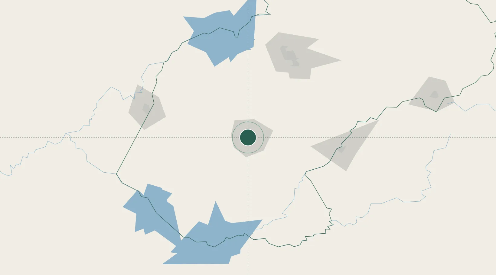
Location
Nearby Logistics Neighbours
Cities
- 1Bloemfontein Industria3 km
- 2Dan Pienaar6 km
- 3Kayalami18 km
- 4Roodekop55 km
- 5Marquard131 km
Ports
- 1East London463 km
- 2Durban478 km
- 3Port Elizabeth538 km
- 4Richards Bay575 km
- 5Mossel Bay679 km
Airports
- 1Bram Fischer International Airport11 km
- 2Moshoeshoe I International Airport136 km
- 3Kimberley Airport144 km
- 4Ficksburg Sentraoes Airport170 km
- 5P C Pelser Airport257 km
Trade Zones
DatabookThe Record of Consolidated Knowledge
South Africa beyond logistics?