Transport Functions
Port
Hub Profile
Region
WC
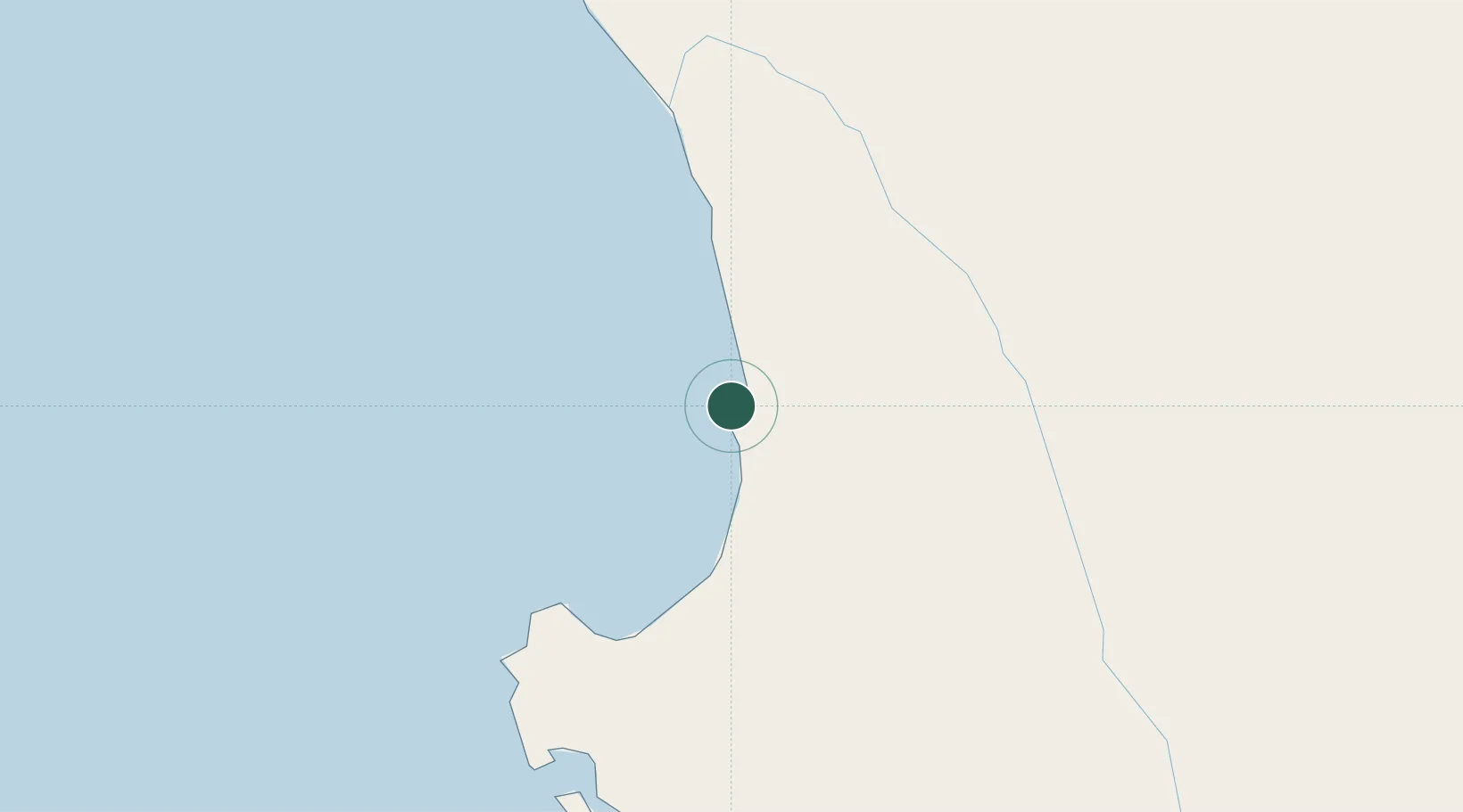
Location
Nearby Logistics Neighbours
Cities
- 1Laaiplek54 km
- 2Clanwilliam55 km
- 3Klawer65 km
- 4Piketberg77 km
- 5Bottelary95 km
Ports
- 1Saldanha Bay88 km
- 2Cape Town180 km
- 3Simonstown210 km
- 4Mossel Bay413 km
- 5Luderitz Bay699 km
Airports
- 1Langebaanweg Airport76 km
- 2Vredendal Airport76 km
- 3Saldanha/Vredenburg Airport81 km
- 4Ysterplaat Air Force Base179 km
- 5Cape Town International Airport188 km
Trade Zones
DatabookThe Record of Consolidated Knowledge
South Africa beyond logistics?