UN/LOCODE hub · South Africa
ZAZCT
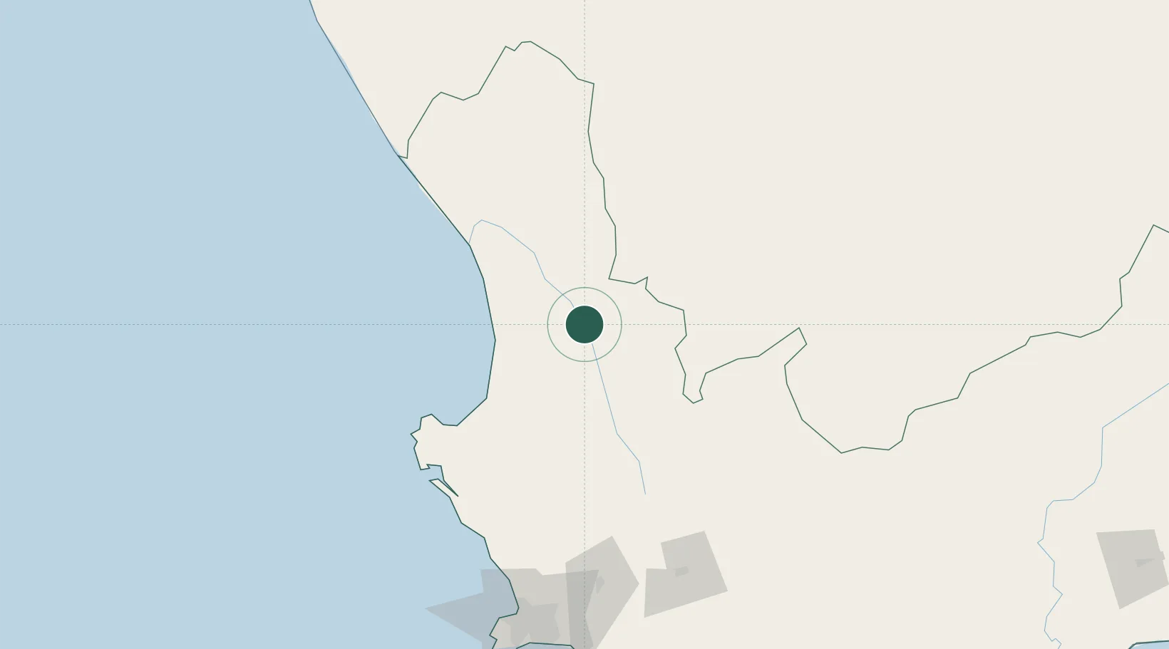
Clanwilliam
-32.1667°, 18.8833°
9,194
Population
1
Transport functions
Transport Functions
Multimodal
Hub Profile
Place type
District seat
Region
Western Cape
Population
9,194
Time zone
Africa/Johannesburg
Elevation
96 m
Location
Nearby Logistics Neighbours
Cities
- 1Klawer52 km
- 2Elands Bay55 km
- 3Piketberg83 km
- 4Porterville93 km
- 5Laaiplek96 km
Ports
- 1Saldanha Bay129 km
- 2Cape Town199 km
- 3Simonstown228 km
- 4Mossel Bay377 km
- 5Port Elizabeth660 km
Airports
- 1Vredendal Airport67 km
- 2Langebaanweg Airport112 km
- 3Saldanha/Vredenburg Airport123 km
- 4Ysterplaat Air Force Base196 km
- 5Cape Town International Airport203 km
Trade Zones
DatabookThe Record of Consolidated Knowledge
South Africa beyond logistics?