Transport Functions
Rail
Road
Hub Profile
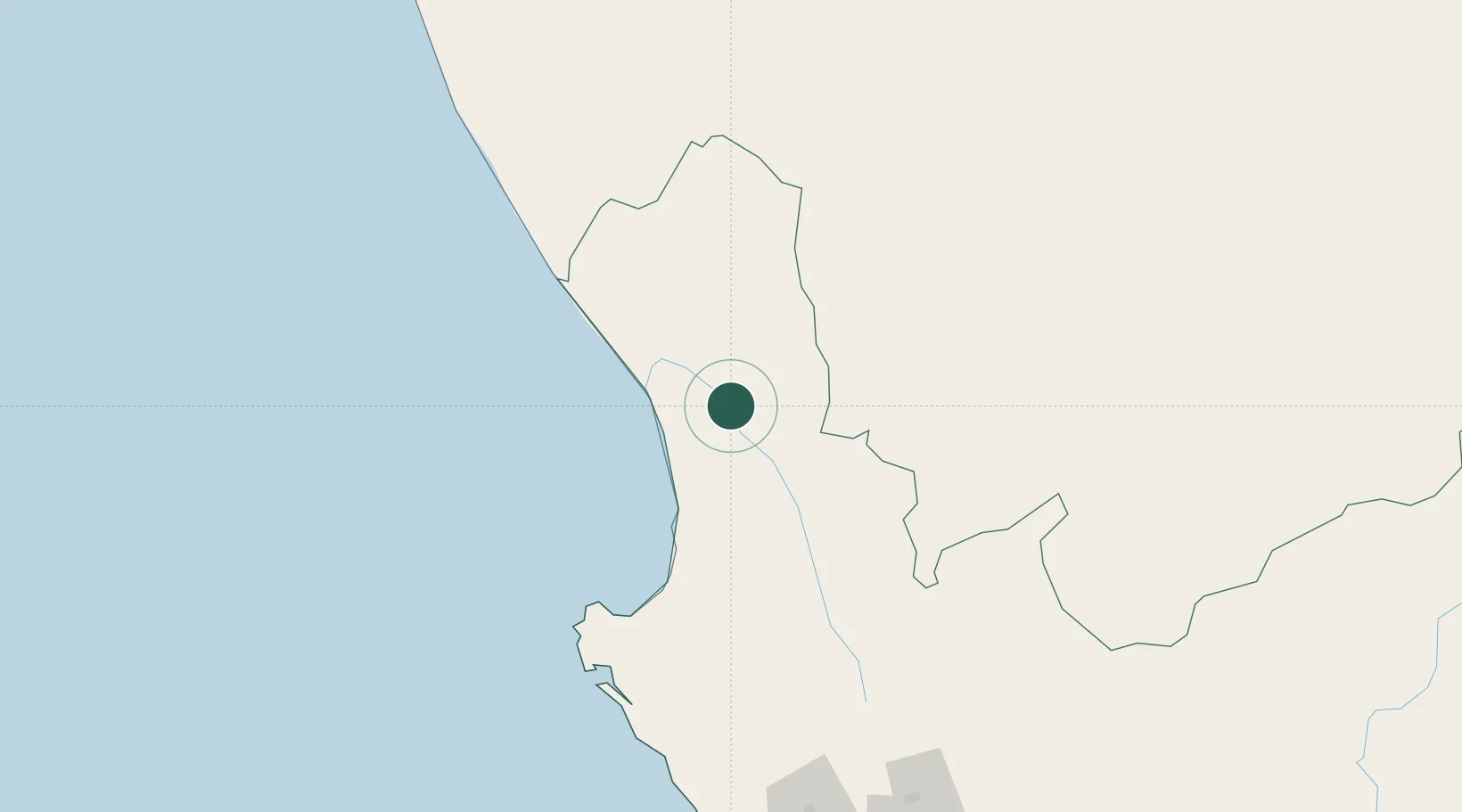
Place type
Populated place
Region
Western Cape
Population
7,469
Time zone
Africa/Johannesburg
Elevation
51 m
Location
Nearby Logistics Neighbours
Cities
- 1Clanwilliam52 km
- 2Elands Bay65 km
- 3Komkans80 km
- 4Stompneus81 km
- 5Laaiplek119 km
Ports
- 1Saldanha Bay153 km
- 2Cape Town240 km
- 3Simonstown269 km
- 4Mossel Bay426 km
- 5Luderitz Bay660 km
Airports
- 1Vredendal Airport15 km
- 2Langebaanweg Airport140 km
- 3Saldanha/Vredenburg Airport146 km
- 4Ysterplaat Air Force Base237 km
- 5Springbok Airport240 km
Trade Zones
DatabookThe Record of Consolidated Knowledge
South Africa beyond logistics?