Transport Functions
Road
Multimodal
Hub Profile
Place type
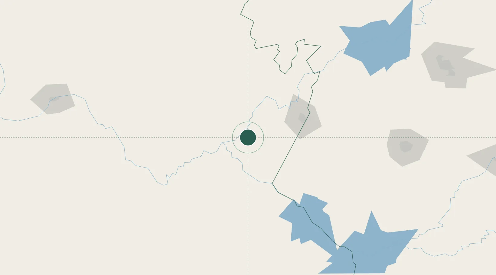
Populated place
Region
Northern Cape
Time zone
Africa/Johannesburg
Elevation
1,112 m
Location
Nearby Logistics Neighbours
Cities
- 1Hartswater159 km
- 2Waterkloof Ridge191 km
- 3Kayalami201 km
- 4Bloemfontein Industria213 km
- 5Bloemfontein214 km
Ports
- 1Port Elizabeth572 km
- 2East London583 km
- 3Mossel Bay602 km
- 4Durban691 km
- 5Saldanha Bay729 km
Airports
- 1Kimberley Airport78 km
- 2Lime Acres Finsch Mine Airport90 km
- 3Sishen Airport179 km
- 4Johan Pienaar Airport181 km
- 5Bram Fischer International Airport224 km
Trade Zones
- 1Botshabelo Industrial Park263 km
- 2Upington Special Economic Zone277 km
- 3Mafeteng Special Economic Zone325 km
- 4Thetsane Industrial Area338 km
- 5Nyenye Industrial Area381 km
DatabookThe Record of Consolidated Knowledge
South Africa beyond logistics?