Medium airport · South Africa

Upington AirportFAUP
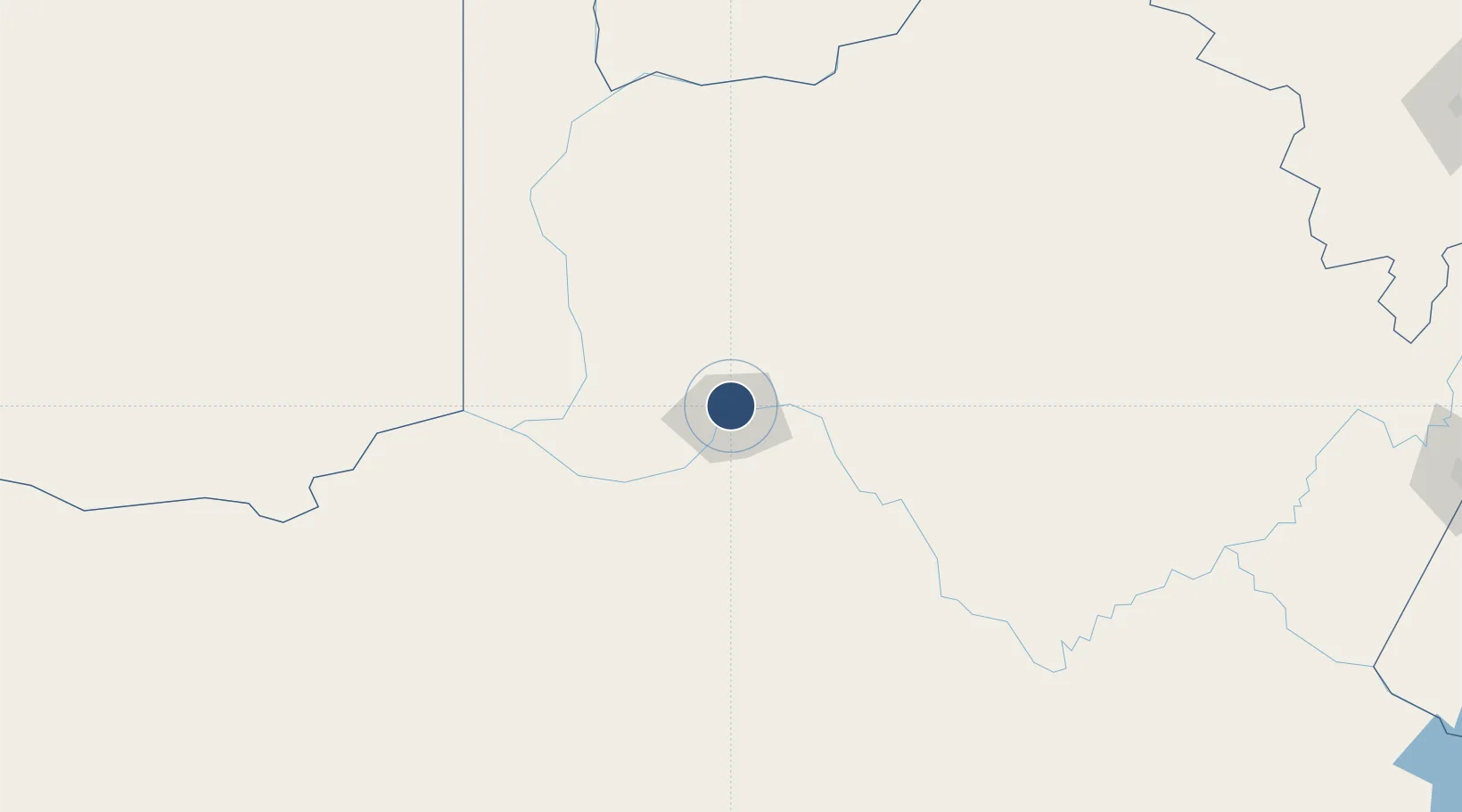
-28.4002°, 21.2636°
16,076 ft
Longest runway
3
Runways
2,782 ft
Elevation

Runway & Layout

Upington Airport runway & taxiway layout
Runway & taxiway layout — OpenStreetMap (ODbL) / OurAirports

Radio Frequencies

TWR
121.3 MHz
APP
121.3 MHz
MISC
122.65 MHz
APRON OFFICE
OurAirports

Navaids

UN NDB Upington 344 kHz
UPV VOR-DME Upington 116.50 MHz
OurAirports

Runways · 3

RunwayDimensions SurfaceTrue headingLit
17/35 16,076 × 197ft Asphalt 153°
01/19 7,998 × 148ft Asphalt
08/26 2,736 × 98ft Asphalt 059°
OurAirports

Airport Specifications

IATA code
UTN
OurAirports
ICAO code
FAUP
OurAirports
Airport class
Medium airport
OurAirports
Scheduled service
Yes
OurAirports
Runway surface
Asphalt
OurAirports
Served city
Upington
OurAirports

Location

Location of FAUP
Natural Earth 10m (public domain) · Northern Cape · FAUP · -28.40, 21.26GoogleOSMYandex

Nearby Logistics Neighbours

Airports
  1. 1Sishen Airport190 km
  2. 2Lime Acres Finsch Mine Airport213 km
  3. 3Johan Pienaar Airport236 km
  4. 4Aggeneys Airport258 km
  5. 5Kimberley Airport345 km
Nearest neighbours — logibook spatial index (haversine) over the source coordinates
Cities
  1. 1Lerato132 km
  2. 2Maseru273 km
  3. 3Pelindaba275 km
  4. 4Hex River332 km
  5. 5Hartswater356 km
Nearest neighbours — logibook spatial index (haversine) over the source coordinates
Ports
  1. 1Saldanha Bay604 km
  2. 2Luderitz Bay633 km
  3. 3Mossel Bay648 km
  4. 4Cape Town671 km
  5. 5Simonstown697 km
Nearest neighbours — logibook spatial index (haversine) over the source coordinates
Trade Zones
  1. 1Upington Special Economic Zone4 km
  2. 2Namakwa (Nama-Khoi) Special Economic Zone242 km
  3. 3Mafikeng (Mahikeng) Industrial development Zone535 km
  4. 4Botshabelo Industrial Park537 km
  5. 5Lobatse Special Economic Zone565 km
Nearest neighbours — logibook spatial index (haversine) over the source coordinates
DatabookThe Record of Consolidated Knowledge
South Africa beyond logistics?
Browse databook

All Sources

AirportsOurAirports
Public domain
Portsthe NGA World Port Index
Public domain (US gov)
LocationsUN/LOCODE
UN/LOCODE — free
Trade Zonesthe World Bank SEZ database
CC BY 4.0
Trade ZonesOpen Zone Map
CC BY
InfrastructureOpenStreetMap
ODbL 1.0
← South Africa airports