Transport Functions
Port
Road
Hub Profile
Region
NC
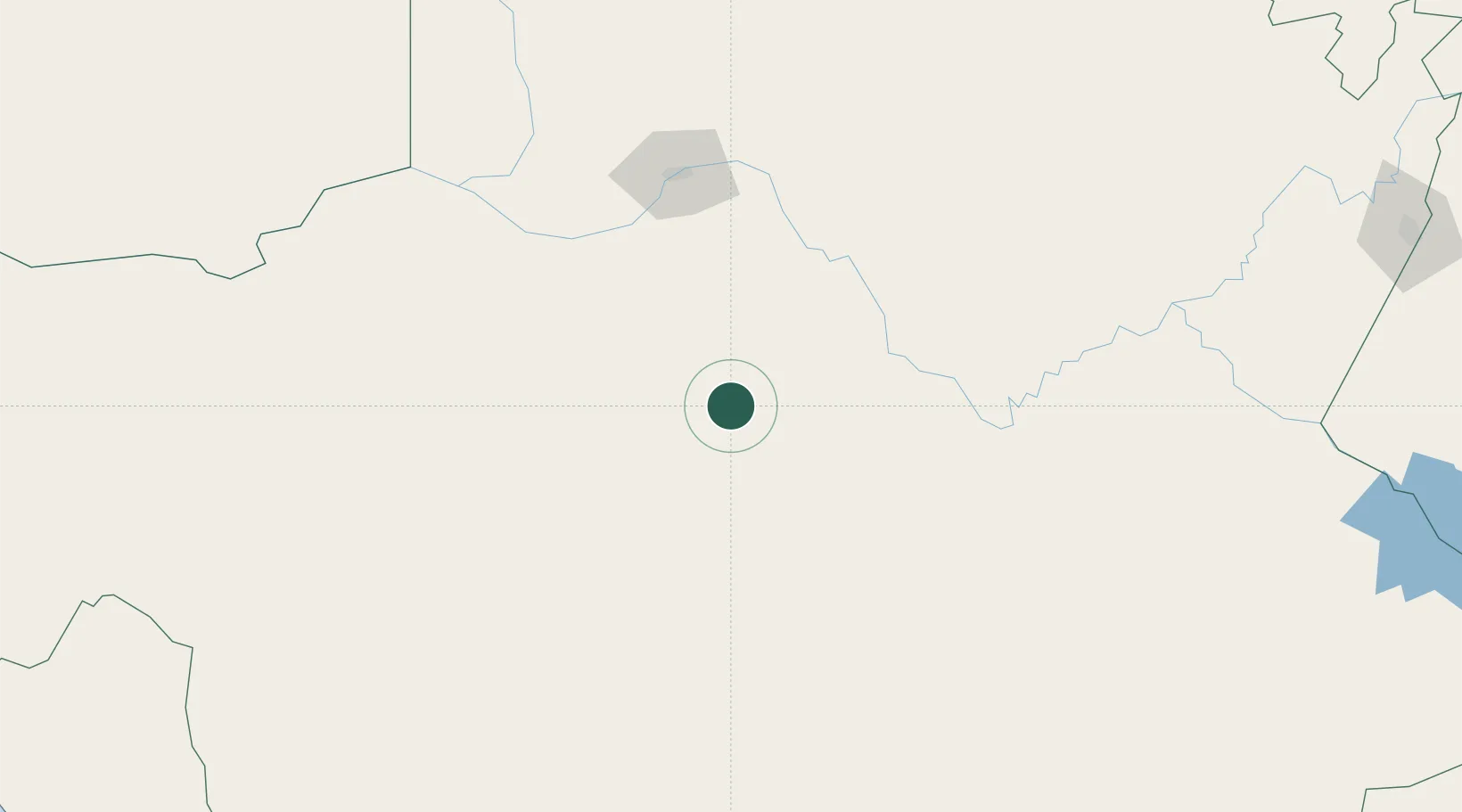
Location
Nearby Logistics Neighbours
Cities
- 1Hex River212 km
- 2Pelindaba249 km
- 3Murraysburg341 km
- 4Klawer371 km
- 5Waterkloof Ridge372 km
Ports
- 1Saldanha Bay512 km
- 2Mossel Bay516 km
- 3Cape Town566 km
- 4Simonstown590 km
- 5Port Elizabeth624 km
Airports
- 1Upington Airport132 km
- 2Lime Acres Finsch Mine Airport230 km
- 3Sishen Airport258 km
- 4Aggeneys Airport264 km
- 5Johan Pienaar Airport299 km
Trade Zones
DatabookThe Record of Consolidated Knowledge
South Africa beyond logistics?