Transport Functions
Multimodal
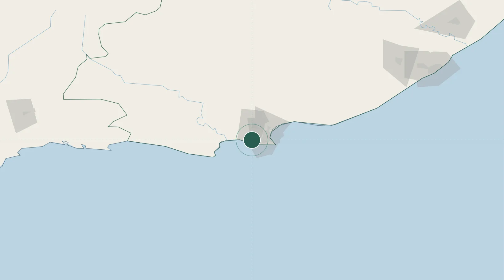
Hub Profile
Region
EC
Location
Nearby Logistics Neighbours
Cities
- 1Springfield17 km
- 2Newton Park19 km
- 3Korsten19 km
- 4Perseverance22 km
- 5North End22 km
Ports
- 1Port Elizabeth26 km
- 2East London258 km
- 3Mossel Bay298 km
- 4Simonstown639 km
- 5Cape Town641 km
Airports
- 1Chief Dawid Stuurman International Airport23 km
- 2Plettenberg Bay Airport188 km
- 3Bisho Airport214 km
- 4King Phalo Airport250 km
- 5Queenstown Airport268 km
Trade Zones
DatabookThe Record of Consolidated Knowledge
South Africa beyond logistics?