UN/LOCODE hub · South Africa
ZAZBM

Elsiesriver

-33.9167°, 18.5667°
1
Transport functions

Transport Functions

Multimodal
UN/LOCODE

Hub Profile

Region
WC
GeoNames

Location

Location of ZAZBM
Natural Earth 10m (public domain) · WC · ZAZBM · -33.92, 18.57GoogleOSMYandex

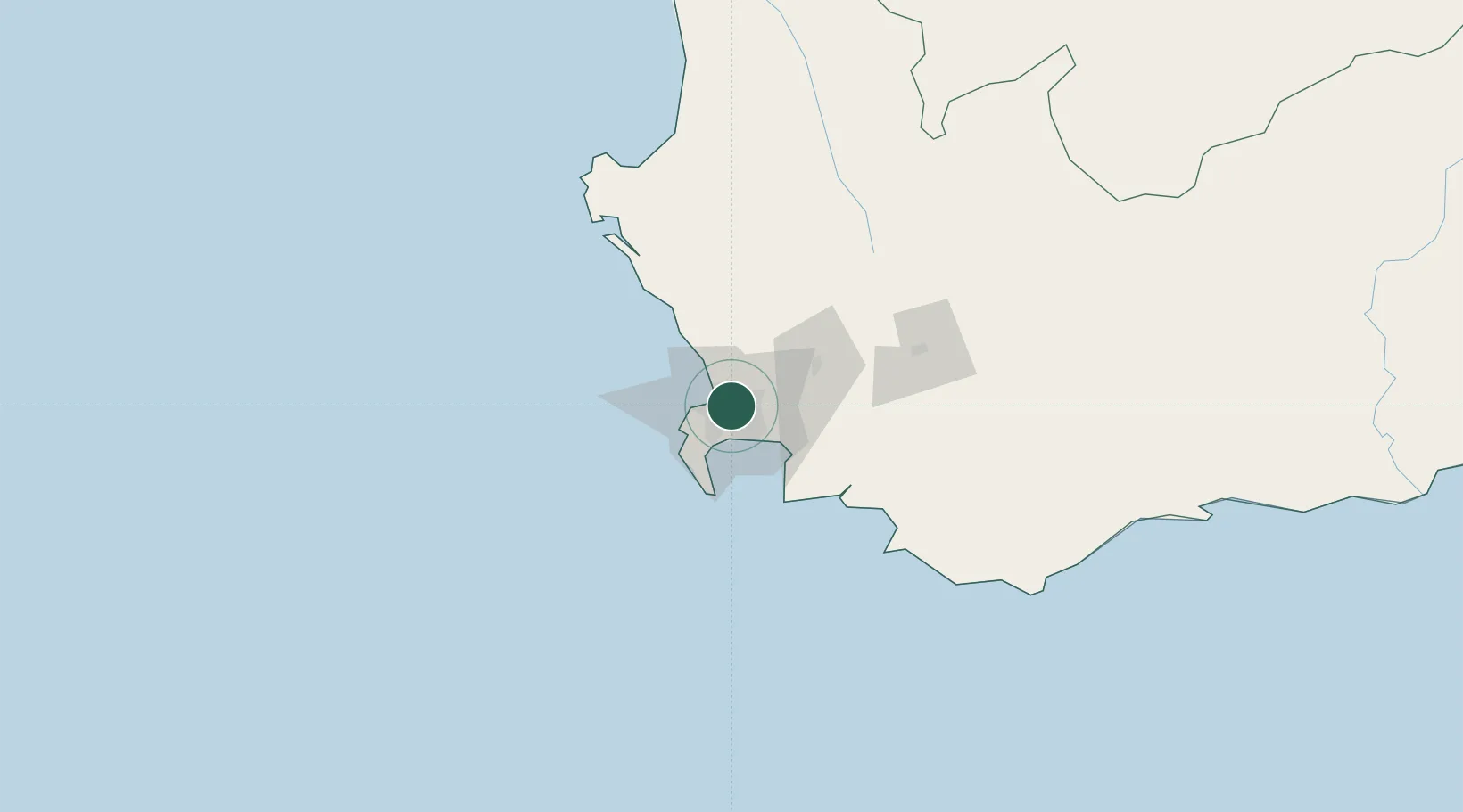
Nearby Logistics Neighbours

Cities
  1. 1Goodwood2 km
  2. 2Culemborg2 km
  3. 3Cape Town3 km
  4. 4Stikland7 km
  5. 5Montague Gardens7 km
Nearest neighbours — logibook spatial index (haversine) over the source coordinates
Ports
  1. 1Cape Town14 km
  2. 2Simonstown32 km
  3. 3Saldanha Bay113 km
  4. 4Mossel Bay331 km
  5. 5Port Elizabeth653 km
Nearest neighbours — logibook spatial index (haversine) over the source coordinates
Airports
  1. 1Ysterplaat Air Force Base7 km
  2. 2Cape Town International Airport7 km
  3. 3Langebaanweg Airport112 km
  4. 4Saldanha/Vredenburg Airport120 km
  5. 5Robertson Airport124 km
Nearest neighbours — logibook spatial index (haversine) over the source coordinates
Trade Zones
  1. 1Atlantis Special Economic Zone38 km
  2. 2Saldanha Bay Special Economic Zone112 km
  3. 3Namakwa (Nama-Khoi) Special Economic Zone524 km
  4. 4Coega Industrial Development Zone657 km
  5. 5Upington Special Economic Zone661 km
Nearest neighbours — logibook spatial index (haversine) over the source coordinates
DatabookThe Record of Consolidated Knowledge
South Africa beyond logistics?
Browse databook

All Sources

LocationsUN/LOCODE
UN/LOCODE — free
Portsthe NGA World Port Index
Public domain (US gov)
AirportsOurAirports
Public domain
Trade Zonesthe World Bank SEZ database
CC BY 4.0
Trade ZonesOpen Zone Map
CC BY
← South Africa locations