Transport Functions
Multimodal
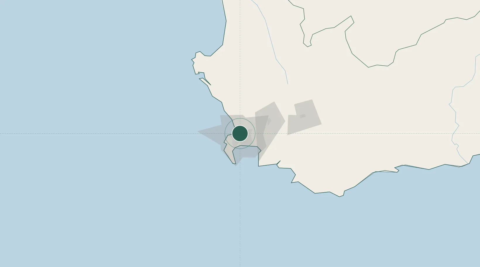
Hub Profile
Place type
Populated place
Region
Western Cape
Time zone
Africa/Johannesburg
Elevation
27 m
Location
Nearby Logistics Neighbours
Cities
- 1Culemborg0 km
- 2Elsiesriver2 km
- 3Cape Town3 km
- 4Montague Gardens5 km
- 5Bothasig6 km
Ports
- 1Cape Town12 km
- 2Simonstown33 km
- 3Saldanha Bay111 km
- 4Mossel Bay333 km
- 5Port Elizabeth654 km
Airports
- 1Ysterplaat Air Force Base5 km
- 2Cape Town International Airport10 km
- 3Langebaanweg Airport110 km
- 4Saldanha/Vredenburg Airport117 km
- 5Robertson Airport125 km
Trade Zones
DatabookThe Record of Consolidated Knowledge
South Africa beyond logistics?