UN/LOCODE hub · South Africa
ZAZDP

Montague Gardens

-33.8667°, 18.5167°
1
Transport functions

Transport Functions

Multimodal
UN/LOCODE

Hub Profile

Place type
Urban district
GeoNames
Region
Western Cape
GeoNames
Time zone
Africa/Johannesburg
GeoNames
Elevation
15 m
GeoNames

Location

Location of ZAZDP
Natural Earth 10m (public domain) · Western Cape · ZAZDP · -33.87, 18.52GoogleOSMYandex

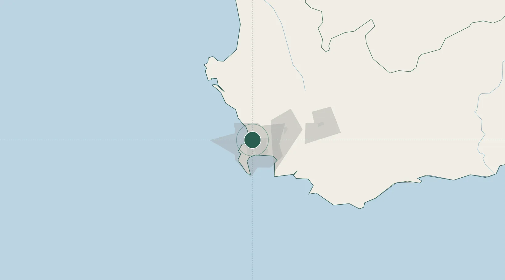
Nearby Logistics Neighbours

Cities
  1. 1Milnerton3 km
  2. 2Bothasig4 km
  3. 3Goodwood5 km
  4. 4Culemborg5 km
  5. 5Cape Town6 km
Nearest neighbours — logibook spatial index (haversine) over the source coordinates
Ports
  1. 1Cape Town11 km
  2. 2Simonstown36 km
  3. 3Saldanha Bay106 km
  4. 4Mossel Bay336 km
  5. 5Port Elizabeth658 km
Nearest neighbours — logibook spatial index (haversine) over the source coordinates
Airports
  1. 1Ysterplaat Air Force Base4 km
  2. 2Cape Town International Airport14 km
  3. 3Langebaanweg Airport105 km
  4. 4Saldanha/Vredenburg Airport113 km
  5. 5Robertson Airport128 km
Nearest neighbours — logibook spatial index (haversine) over the source coordinates
Trade Zones
  1. 1Atlantis Special Economic Zone31 km
  2. 2Saldanha Bay Special Economic Zone105 km
  3. 3Namakwa (Nama-Khoi) Special Economic Zone518 km
  4. 4Upington Special Economic Zone657 km
  5. 5Coega Industrial Development Zone661 km
Nearest neighbours — logibook spatial index (haversine) over the source coordinates
DatabookThe Record of Consolidated Knowledge
South Africa beyond logistics?
Browse databook

All Sources

LocationsUN/LOCODE
UN/LOCODE — free
Portsthe NGA World Port Index
Public domain (US gov)
AirportsOurAirports
Public domain
Trade Zonesthe World Bank SEZ database
CC BY 4.0
Trade ZonesOpen Zone Map
CC BY
← South Africa locations