Transport Functions
Multimodal
Hub Profile
Place type
Populated place
Region
Gauteng
Time zone
Africa/Johannesburg
Elevation
1,571 m
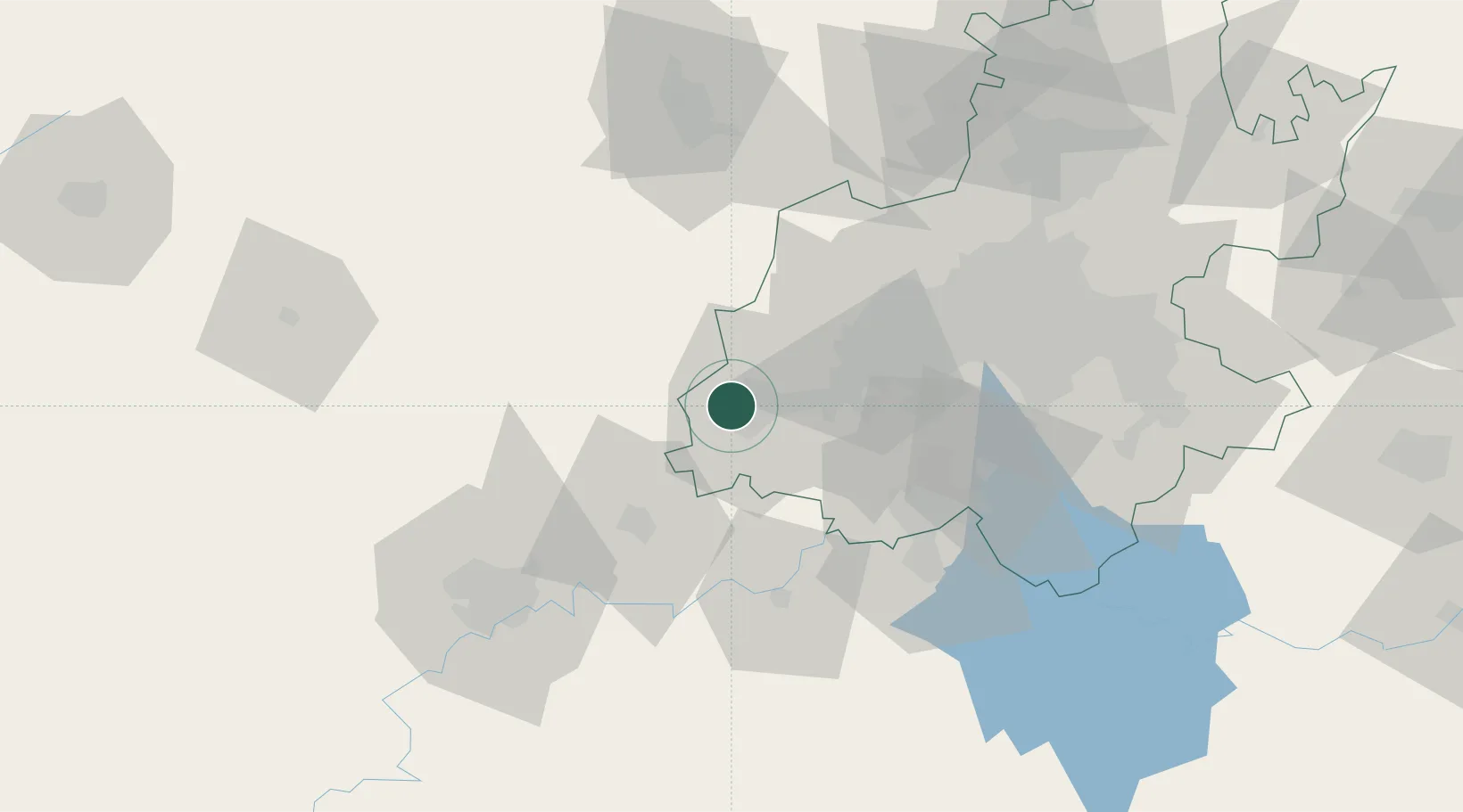
Location
Nearby Logistics Neighbours
Cities
- 1Westonaria33 km
- 2Potchefstroom42 km
- 3Suurbekom43 km
- 4Lenasia51 km
- 5Soweto55 km
Ports
- 1Maputo522 km
- 2Durban532 km
- 3Richards Bay541 km
- 4East London740 km
- 5Port Elizabeth855 km
Airports
- 1Potchefstroom Airport39 km
- 2Vereeniging Airport65 km
- 3Lanseria International Airport78 km
- 4P C Pelser Airport81 km
- 5Rand Airport83 km
Trade Zones
DatabookThe Record of Consolidated Knowledge
South Africa beyond logistics?