UN/LOCODE hub · South Africa
ZAVIL
Viljoenskroon
-27.2167°, 26.9500°
54,955
Population
1
Transport functions
Transport Functions
Multimodal
Hub Profile
Place type
Populated place
Region
Free State
Population
54,955
Time zone
Africa/Johannesburg
Elevation
1,345 m
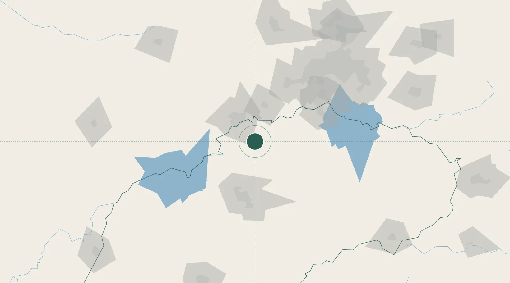
Location
Nearby Logistics Neighbours
Cities
- 1Potchefstroom58 km
- 2Parys61 km
- 3Riebeeckstad79 km
- 4Doornfontein99 km
- 5Botshabelo99 km
Ports
- 1Durban499 km
- 2Richards Bay536 km
- 3Maputo574 km
- 4East London653 km
- 5Port Elizabeth759 km
Airports
- 1P C Pelser Airport45 km
- 2Potchefstroom Airport62 km
- 3Vereeniging Airport124 km
- 4Rand Airport161 km
- 5Morningside Farm Airport168 km
Trade Zones
DatabookThe Record of Consolidated Knowledge
South Africa beyond logistics?