Medium airport · South Africa

Potchefstroom AirportFAPS
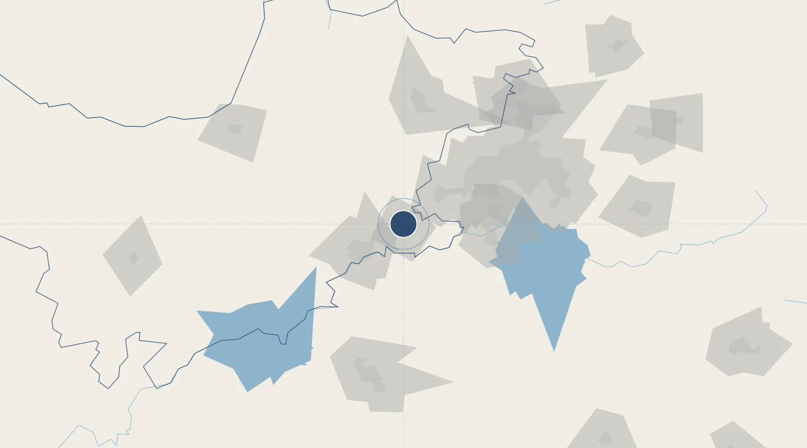
-26.6710°, 27.0819°
4,885 ft
Longest runway
2
Runways
4,520 ft
Elevation

Runway & Layout

Potchefstroom Airport runway & taxiway layout
Runway & taxiway layout — OpenStreetMap (ODbL) / OurAirports

Radio Frequencies

A/G
123 MHz
RDO
OurAirports

Navaids

PSV VOR-DME Potchefstroom 115.80 MHz
OurAirports

Runways · 2

RunwayDimensions SurfaceTrue headingLit
03/21 4,885 × 98ft Asphalt 013°
15/33 3,281 × 98ft Grass 135°
OurAirports

Airport Specifications

IATA code
PCF
OurAirports
ICAO code
FAPS
OurAirports
Airport class
Medium airport
OurAirports
Scheduled service
No
OurAirports
Runway surface
Asphalt
OurAirports
Served city
Potchefstroom
OurAirports

Location

Location of FAPS
Natural Earth 10m (public domain) · North West · FAPS · -26.67, 27.08GoogleOSMYandex

Nearby Logistics Neighbours

Airports
  1. 1P C Pelser Airport42 km
  2. 2Vereeniging Airport88 km
  3. 3Morningside Farm Airport109 km
  4. 4Rustenburg Airport116 km
  5. 5Rand Airport117 km
Nearest neighbours — logibook spatial index (haversine) over the source coordinates
Cities
  1. 1Potchefstroom5 km
  2. 2Doornfontein39 km
  3. 3Parys45 km
  4. 4Viljoenskroon62 km
  5. 5Westonaria69 km
Nearest neighbours — logibook spatial index (haversine) over the source coordinates
Ports
  1. 1Durban528 km
  2. 2Richards Bay548 km
  3. 3Maputo550 km
  4. 4East London712 km
  5. 5Port Elizabeth821 km
Nearest neighbours — logibook spatial index (haversine) over the source coordinates
Trade Zones
  1. 1Vaal Special Economic Zone82 km
  2. 2OR Tambo Industrial Development Zone132 km
  3. 3Mafikeng (Mahikeng) Industrial development Zone155 km
  4. 4Bojanala (Platinum Valley) Special Economic Zone157 km
  5. 5Tshwane Automotive Industrial Zone162 km
Nearest neighbours — logibook spatial index (haversine) over the source coordinates
DatabookThe Record of Consolidated Knowledge
South Africa beyond logistics?
Browse databook

All Sources

AirportsOurAirports
Public domain
Portsthe NGA World Port Index
Public domain (US gov)
LocationsUN/LOCODE
UN/LOCODE — free
Trade Zonesthe World Bank SEZ database
CC BY 4.0
Trade ZonesOpen Zone Map
CC BY
InfrastructureOpenStreetMap
ODbL 1.0
← South Africa airports