UN/LOCODE hub · South Africa
ZAZEH

Potchefstroom

-26.7167°, 27.1000°
178,285
Population
1
Transport functions

Transport Functions

Multimodal
UN/LOCODE

Hub Profile

Place type
District seat
GeoNames
Region
North West
GeoNames
Population
178,285
GeoNames
Time zone
Africa/Johannesburg
GeoNames
Elevation
1,335 m
GeoNames

Location

Location of ZAZEH
Natural Earth 10m (public domain) · North West · ZAZEH · -26.72, 27.10GoogleOSMYandex

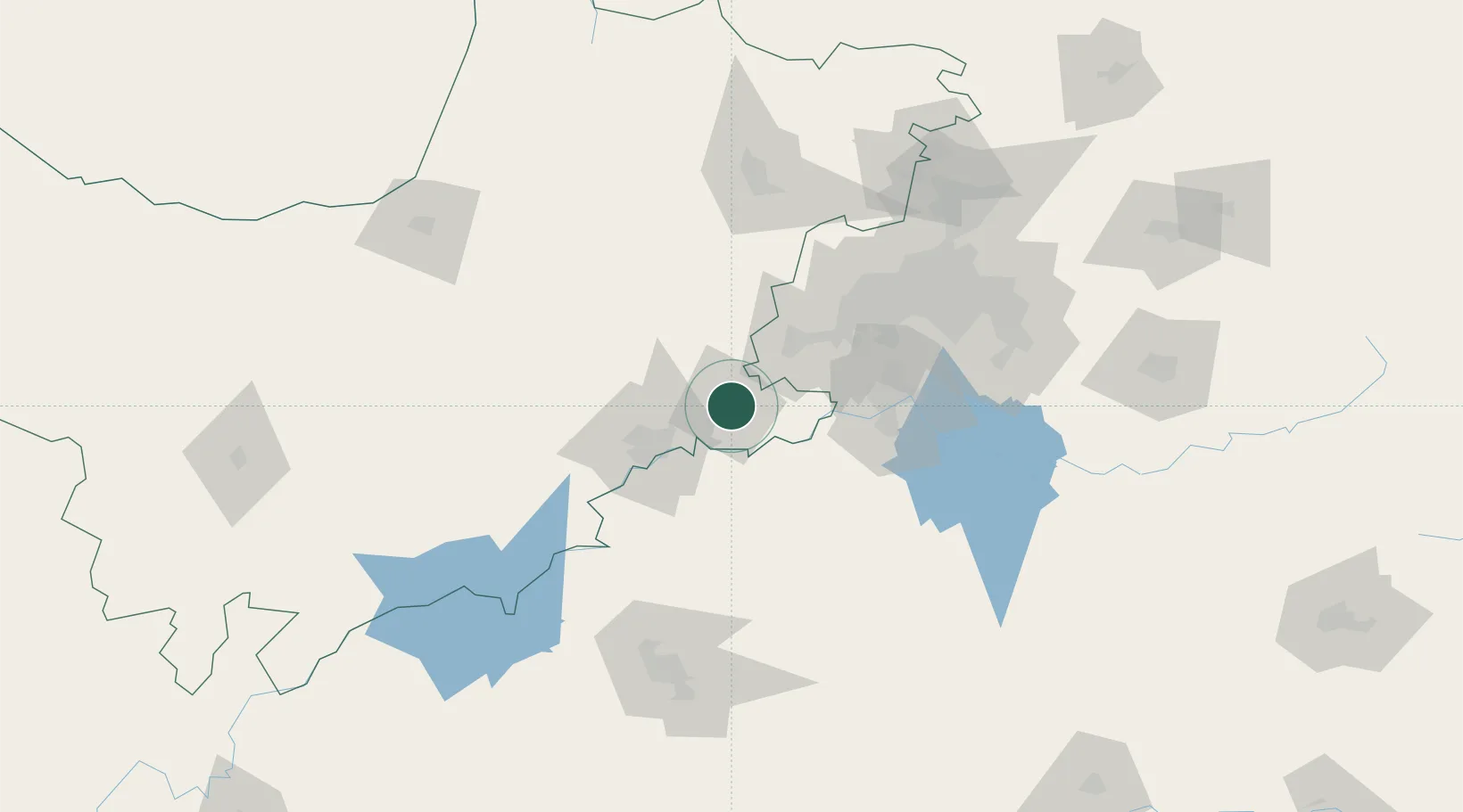
Nearby Logistics Neighbours

Cities
  1. 1Parys40 km
  2. 2Doornfontein42 km
  3. 3Viljoenskroon58 km
  4. 4Westonaria71 km
  5. 5Botshabelo76 km
Nearest neighbours — logibook spatial index (haversine) over the source coordinates
Ports
  1. 1Durban523 km
  2. 2Richards Bay544 km
  3. 3Maputo549 km
  4. 4East London707 km
  5. 5Port Elizabeth817 km
Nearest neighbours — logibook spatial index (haversine) over the source coordinates
Airports
  1. 1Potchefstroom Airport5 km
  2. 2P C Pelser Airport42 km
  3. 3Vereeniging Airport87 km
  4. 4Morningside Farm Airport114 km
  5. 5Rand Airport117 km
Nearest neighbours — logibook spatial index (haversine) over the source coordinates
Trade Zones
  1. 1Vaal Special Economic Zone80 km
  2. 2OR Tambo Industrial Development Zone133 km
  3. 3Mafikeng (Mahikeng) Industrial development Zone159 km
  4. 4Bojanala (Platinum Valley) Special Economic Zone162 km
  5. 5Tshwane Automotive Industrial Zone164 km
Nearest neighbours — logibook spatial index (haversine) over the source coordinates
DatabookThe Record of Consolidated Knowledge
South Africa beyond logistics?
Browse databook

All Sources

LocationsUN/LOCODE
UN/LOCODE — free
LocationsGeoNames
CC BY 4.0
Portsthe NGA World Port Index
Public domain (US gov)
AirportsOurAirports
Public domain
Trade Zonesthe World Bank SEZ database
CC BY 4.0
Trade ZonesOpen Zone Map
CC BY
← South Africa locations