Medium airport · South Africa

Rustenburg AirportFARG
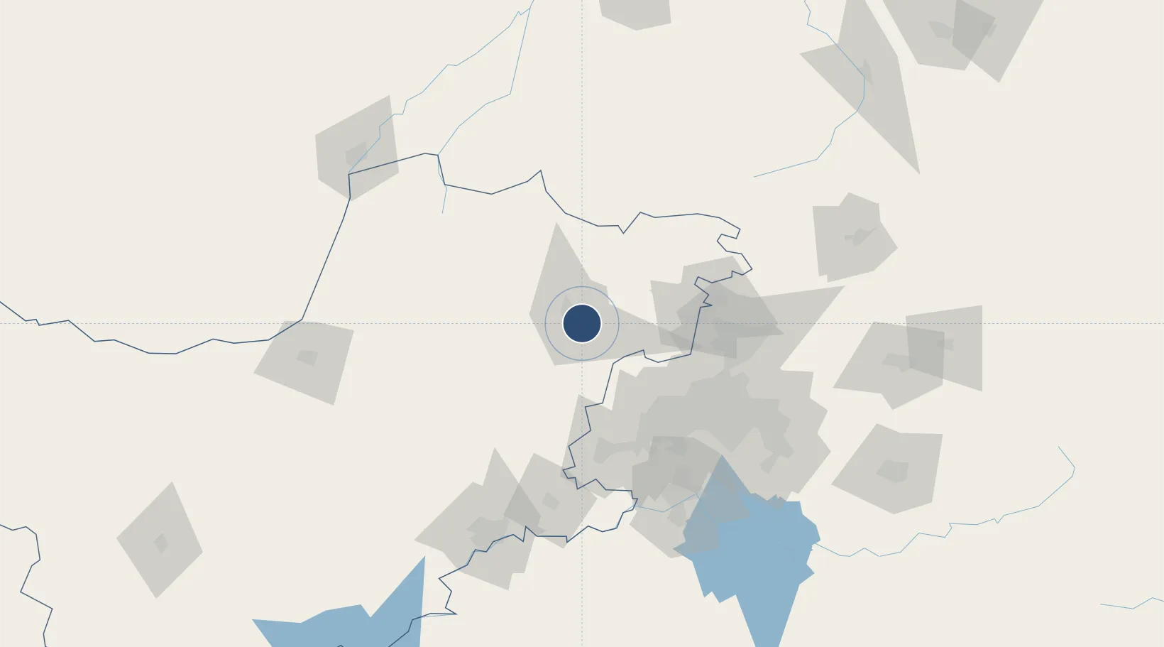
-25.6443°, 27.2711°
4,019 ft
Longest runway
1
Runways
3,700 ft
Elevation

Runway & Layout

Rustenburg Airport runway & taxiway layout
Runway & taxiway layout — OpenStreetMap (ODbL) / OurAirports

Radio Frequencies

A/G
122.4 MHz
A/G VOICE RDO
OurAirports

Navaids

RG NDB Rustenburg 453 kHz
OurAirports

Runways · 1

RunwayDimensions SurfaceTrue headingLit
16/34 4,019 × 50ft Asphalt 145°
OurAirports

Airport Specifications

ICAO code
FARG
OurAirports
Airport class
Medium airport
OurAirports
Scheduled service
No
OurAirports
Runway surface
Asphalt
OurAirports
Served city
Rustenburg
OurAirports

Location

Location of FARG
Natural Earth 10m (public domain) · North West · FARG · -25.64, 27.27GoogleOSMYandex

Nearby Logistics Neighbours

Airports
  1. 1Pilanesberg International Airport36 km
  2. 2Morningside Farm Airport37 km
  3. 3Lanseria International Airport73 km
  4. 4Swartkop Air Force Base91 km
  5. 5Grand Central Airport95 km
Nearest neighbours — logibook spatial index (haversine) over the source coordinates
Cities
  1. 1Longmeadow East70 km
  2. 2Garankuwa73 km
  3. 3Chamdor76 km
  4. 4Kya Sands78 km
  5. 5Honeydew81 km
Nearest neighbours — logibook spatial index (haversine) over the source coordinates
Ports
  1. 1Maputo529 km
  2. 2Richards Bay593 km
  3. 3Durban600 km
  4. 4East London824 km
  5. 5Inhambane843 km
Nearest neighbours — logibook spatial index (haversine) over the source coordinates
Trade Zones
  1. 1Bojanala (Platinum Valley) Special Economic Zone42 km
  2. 2Tshwane Automotive Industrial Zone106 km
  3. 3Babelegi Industrial Park106 km
  4. 4OR Tambo Industrial Development Zone114 km
  5. 5Vaal Special Economic Zone136 km
Nearest neighbours — logibook spatial index (haversine) over the source coordinates
DatabookThe Record of Consolidated Knowledge
South Africa beyond logistics?
Browse databook

All Sources

AirportsOurAirports
Public domain
Portsthe NGA World Port Index
Public domain (US gov)
LocationsUN/LOCODE
UN/LOCODE — free
Trade Zonesthe World Bank SEZ database
CC BY 4.0
Trade ZonesOpen Zone Map
CC BY
InfrastructureOpenStreetMap
ODbL 1.0
← South Africa airports