Transport Functions
Multimodal
Hub Profile
Place type
Populated place
Region
Free State
Time zone
Africa/Johannesburg
Elevation
1,452 m
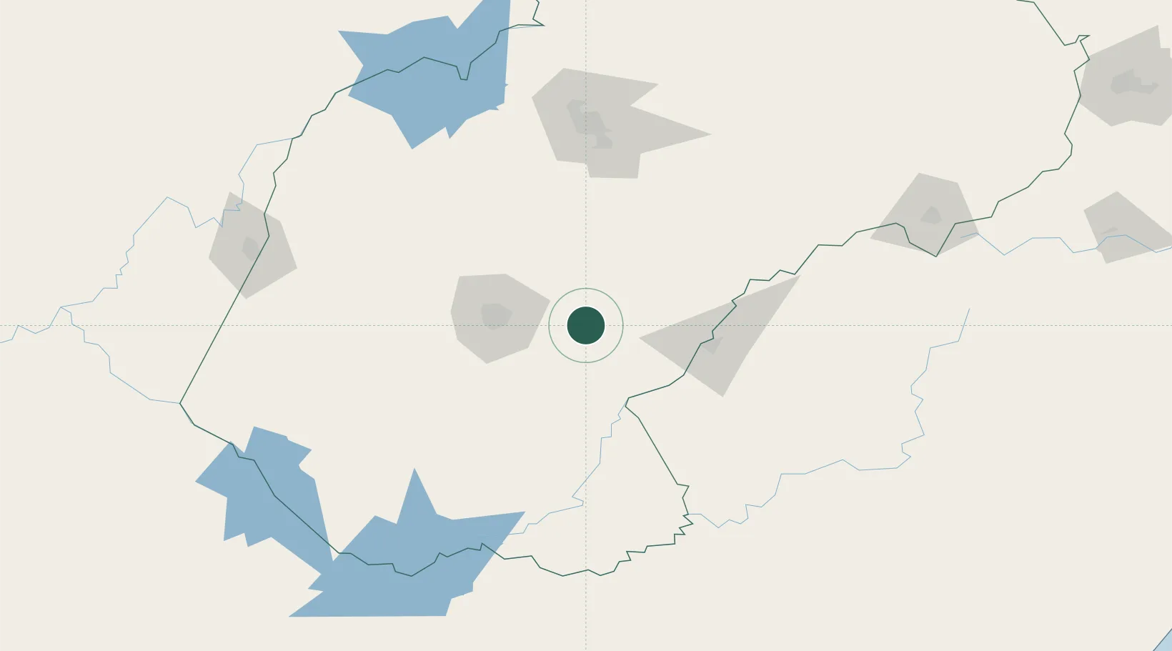
Location
Nearby Logistics Neighbours
Cities
- 1Dan Pienaar55 km
- 2Bloemfontein55 km
- 3Bloemfontein Industria57 km
- 4Kayalami71 km
- 5Marquard87 km
Ports
- 1Durban423 km
- 2East London442 km
- 3Richards Bay520 km
- 4Port Elizabeth541 km
- 5Maputo673 km
Airports
- 1Bram Fischer International Airport46 km
- 2Moshoeshoe I International Airport82 km
- 3Ficksburg Sentraoes Airport118 km
- 4Kimberley Airport199 km
- 5Harrismith Airport251 km
Trade Zones
DatabookThe Record of Consolidated Knowledge
South Africa beyond logistics?