UN/LOCODE hub · South Africa
ZAMQD
Marquard
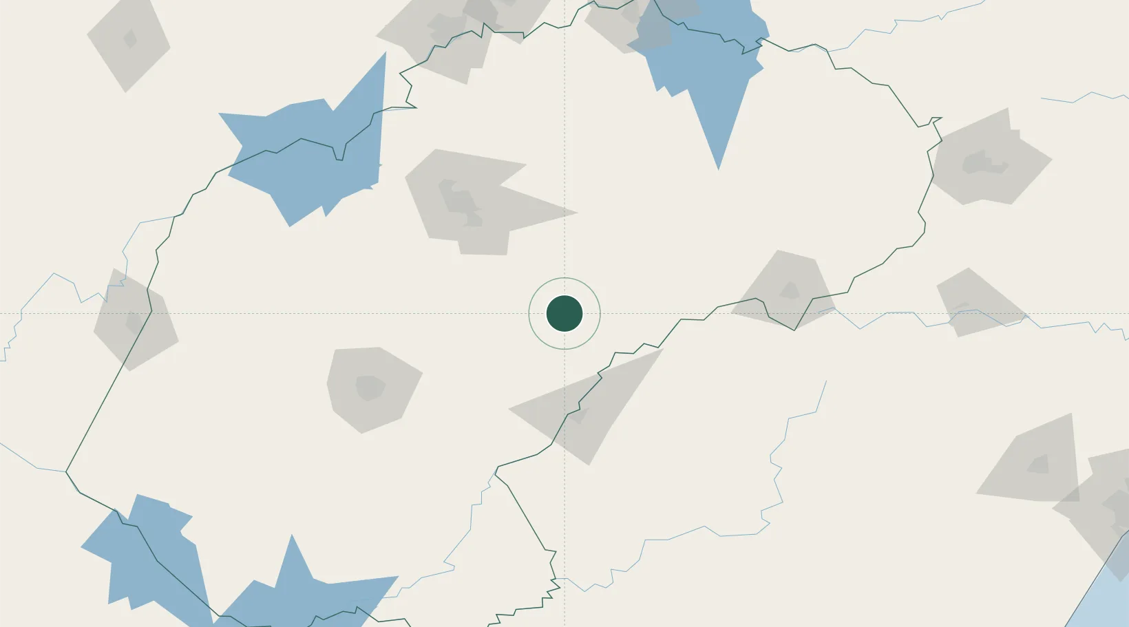
-28.6667°, 27.4333°
18,573
Population
1
Transport functions
Transport Functions
Multimodal
Hub Profile
Place type
Populated place
Region
Free State
Population
18,573
Time zone
Africa/Johannesburg
Elevation
1,518 m
Location
Nearby Logistics Neighbours
Cities
- 1Maputsoe52 km
- 2Butha-Buthe79 km
- 3Roodekop87 km
- 4Riebeeckstad103 km
- 5Dan Pienaar127 km
Ports
- 1Durban377 km
- 2Richards Bay455 km
- 3East London488 km
- 4Maputo588 km
- 5Port Elizabeth612 km
Airports
- 1Ficksburg Sentraoes Airport50 km
- 2Moshoeshoe I International Airport89 km
- 3Bram Fischer International Airport120 km
- 4Harrismith Airport170 km
- 5P C Pelser Airport212 km
Trade Zones
DatabookThe Record of Consolidated Knowledge
South Africa beyond logistics?