Medium airport · South Africa

Ficksburg Sentraoes AirportFAFB
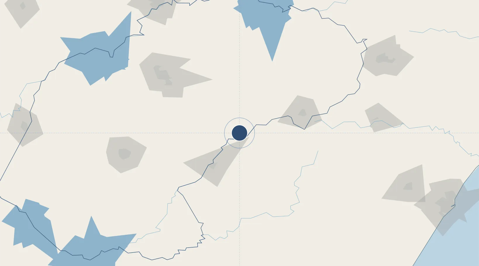
-28.8231°, 27.9089°
4,593 ft
Longest runway
1
Runways
5,315 ft
Elevation

Runway & Layout

Ficksburg Sentraoes Airport runway & taxiway layout
Runway & taxiway layout — OpenStreetMap (ODbL) / OurAirports

Navaids

FB NDB Ficksburg 390 kHz
OurAirports

Runways · 1

RunwayDimensions SurfaceTrue headingLit
08/26 4,593 × 49ft Asphalt 060°
OurAirports

Airport Specifications

IATA code
FCB
OurAirports
ICAO code
FAFB
OurAirports
Airport class
Medium airport
OurAirports
Scheduled service
No
OurAirports
Runway surface
Asphalt
OurAirports
Served city
Ficksburg
OurAirports

Location

Location of FAFB
Natural Earth 10m (public domain) · Free State · FAFB · -28.82, 27.91GoogleOSMYandex

Nearby Logistics Neighbours

Airports
  1. 1Moshoeshoe I International Airport78 km
  2. 2Harrismith Airport134 km
  3. 3Bram Fischer International Airport159 km
  4. 4Ladysmith Airport182 km
  5. 5Newcastle Airport234 km
Nearest neighbours — logibook spatial index (haversine) over the source coordinates
Cities
  1. 1Maputsoe7 km
  2. 2Butha-Buthe32 km
  3. 3Marquard50 km
  4. 4Roodekop118 km
  5. 5Bergville142 km
Nearest neighbours — logibook spatial index (haversine) over the source coordinates
Ports
  1. 1Durban327 km
  2. 2Richards Bay408 km
  3. 3East London468 km
  4. 4Maputo557 km
  5. 5Port Elizabeth610 km
Nearest neighbours — logibook spatial index (haversine) over the source coordinates
Trade Zones
  1. 1Nyenye Industrial Area10 km
  2. 2Thetsane Industrial Area72 km
  3. 3Maluti-A-Phofung Special Economic Zone124 km
  4. 4Botshabelo Industrial Park125 km
  5. 5Mafeteng Special Economic Zone128 km
Nearest neighbours — logibook spatial index (haversine) over the source coordinates
DatabookThe Record of Consolidated Knowledge
South Africa beyond logistics?
Browse databook

All Sources

AirportsOurAirports
Public domain
Portsthe NGA World Port Index
Public domain (US gov)
LocationsUN/LOCODE
UN/LOCODE — free
Trade Zonesthe World Bank SEZ database
CC BY 4.0
Trade ZonesOpen Zone Map
CC BY
InfrastructureOpenStreetMap
ODbL 1.0
← South Africa airports