UN/LOCODE hub · South Africa
ZAZAH

Briardene

-29.7667°, 31.0167°
1
Transport functions

Transport Functions

Multimodal
UN/LOCODE

Hub Profile

Region
NL
GeoNames

Location

Location of ZAZAH
Natural Earth 10m (public domain) · NL · ZAZAH · -29.77, 31.02GoogleOSMYandex

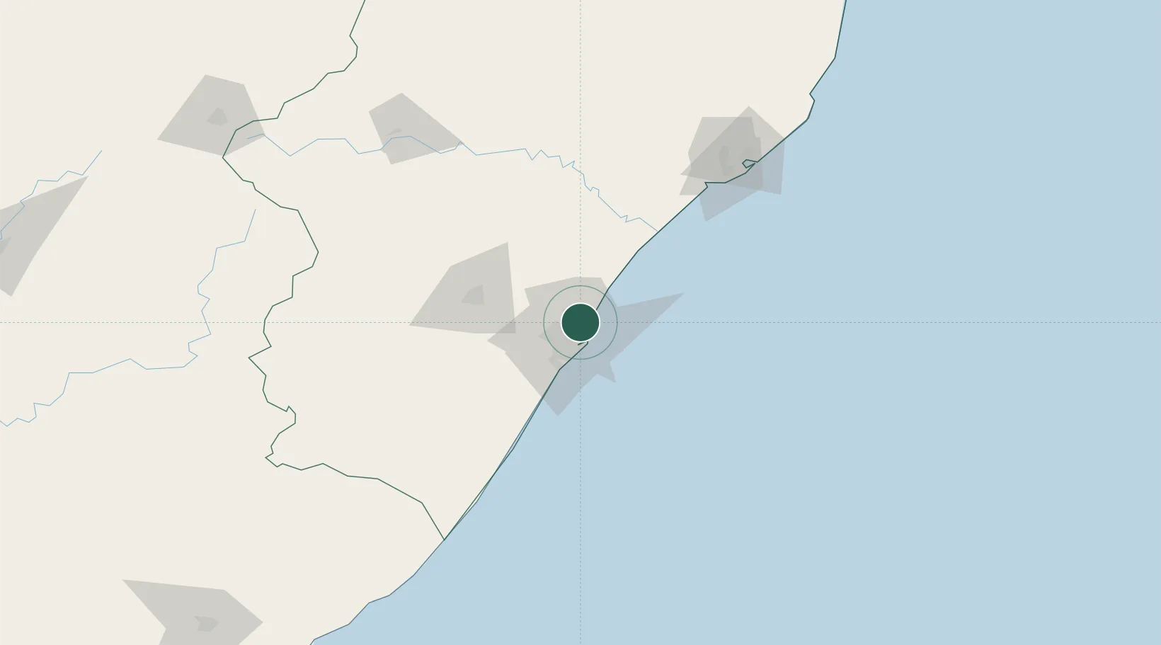
Nearby Logistics Neighbours

Cities
  1. 1Kwamashu4 km
  2. 2La Lucia5 km
  3. 3Stamford Hill6 km
  4. 4Sydenham6 km
  5. 5Umhlanga Rocks9 km
Nearest neighbours — logibook spatial index (haversine) over the source coordinates
Ports
  1. 1Durban12 km
  2. 2Richards Bay149 km
  3. 3Maputo449 km
  4. 4East London467 km
  5. 5Port Elizabeth688 km
Nearest neighbours — logibook spatial index (haversine) over the source coordinates
Airports
  1. 1Virginia Airport4 km
  2. 2King Shaka International Airport20 km
  3. 3Pietermaritzburg Airport61 km
  4. 4Margate Airport137 km
  5. 5Richards Bay Airport155 km
Nearest neighbours — logibook spatial index (haversine) over the source coordinates
Trade Zones
  1. 1Dube TradePort18 km
  2. 2Dube AgriZone19 km
  3. 3Dube TradeZone20 km
  4. 4Durban Aerotropolis23 km
  5. 5Isithebe Industrial Park84 km
Nearest neighbours — logibook spatial index (haversine) over the source coordinates
DatabookThe Record of Consolidated Knowledge
South Africa beyond logistics?
Browse databook

All Sources

LocationsUN/LOCODE
UN/LOCODE — free
Portsthe NGA World Port Index
Public domain (US gov)
AirportsOurAirports
Public domain
Trade Zonesthe World Bank SEZ database
CC BY 4.0
Trade ZonesOpen Zone Map
CC BY
← South Africa locations