Transport Functions
Rail
Road
Hub Profile
Place type
Populated place
Region
KwaZulu-Natal
Time zone
Africa/Johannesburg
Elevation
126 m
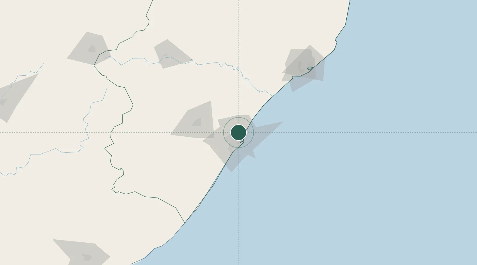
Location
Nearby Logistics Neighbours
Cities
- 1Briardene4 km
- 2Reservoir Hills7 km
- 3Sydenham7 km
- 4La Lucia8 km
- 5Stamford Hill8 km
Ports
- 1Durban15 km
- 2Richards Bay150 km
- 3Maputo448 km
- 4East London467 km
- 5Port Elizabeth687 km
Airports
- 1Virginia Airport8 km
- 2King Shaka International Airport20 km
- 3Pietermaritzburg Airport58 km
- 4Margate Airport138 km
- 5Richards Bay Airport155 km
Trade Zones
- 1Dube TradePort18 km
- 2Dube AgriZone19 km
- 3Dube TradeZone21 km
- 4Durban Aerotropolis23 km
- 5Isithebe Industrial Park84 km
DatabookThe Record of Consolidated Knowledge
South Africa beyond logistics?