Transport Functions
Multimodal
Hub Profile
Place type
Populated place
Region
Gauteng
Time zone
Africa/Johannesburg
Elevation
91 m
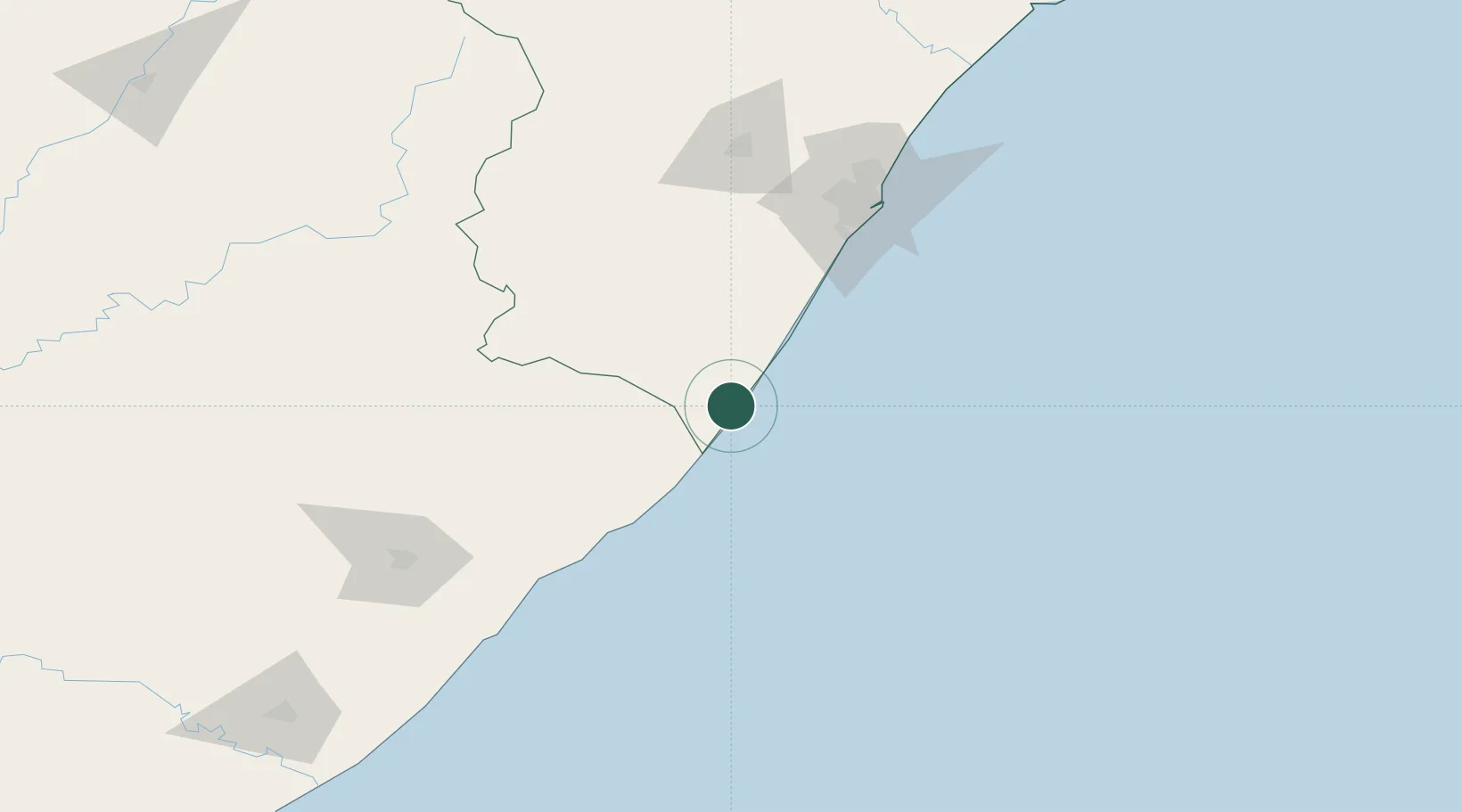
Location
Nearby Logistics Neighbours
Cities
- 1Southbroom8 km
- 2Port Edward25 km
- 3Hibberdene38 km
- 4Sezela59 km
- 5Pennington63 km
Ports
- 1Durban130 km
- 2Richards Bay284 km
- 3East London333 km
- 4Port Elizabeth559 km
- 5Maputo585 km
Airports
- 1Margate Airport1 km
- 2Port St Johns Airport114 km
- 3Pietermaritzburg Airport134 km
- 4Virginia Airport139 km
- 5King Shaka International Airport157 km
Trade Zones
- 1Dube TradePort155 km
- 2Dube AgriZone156 km
- 3Dube TradeZone157 km
- 4Durban Aerotropolis160 km
- 5Vulindlela Industrial Park170 km
DatabookThe Record of Consolidated Knowledge
South Africa beyond logistics?