UN/LOCODE hub · South Africa
ZASNL
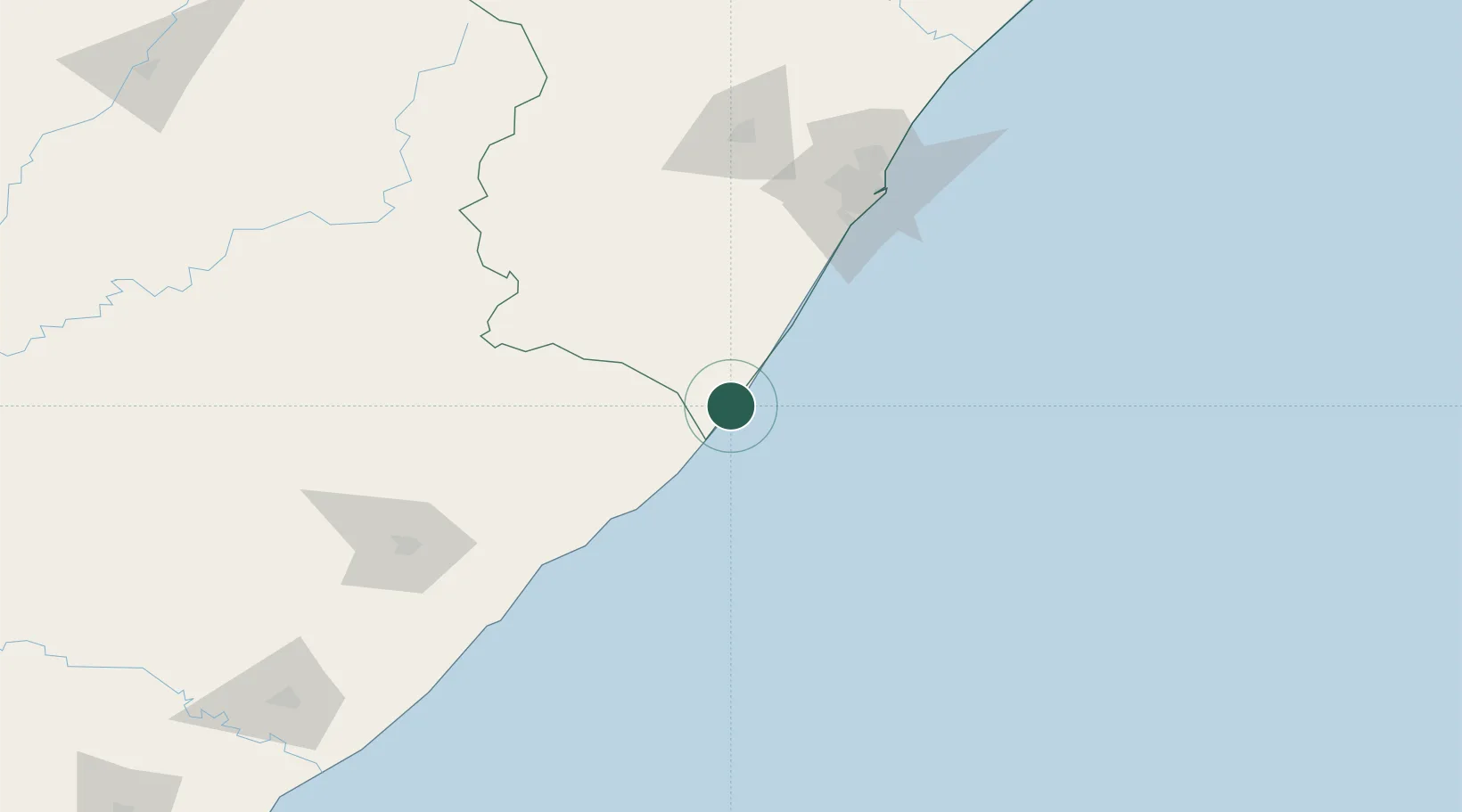
Southbroom
-30.9167°, 30.3167°
1,934
Population
2
Transport functions
Transport Functions
Port
Multimodal
Hub Profile
Place type
Populated place
Region
KwaZulu-Natal
Population
1,934
Time zone
Africa/Johannesburg
Elevation
56 m
Location
Nearby Logistics Neighbours
Cities
- 1Faerie Glen8 km
- 2Port Edward18 km
- 3Hibberdene45 km
- 4Sezela66 km
- 5Pennington70 km
Ports
- 1Durban137 km
- 2Richards Bay291 km
- 3East London327 km
- 4Port Elizabeth553 km
- 5Maputo592 km
Airports
- 1Margate Airport7 km
- 2Port St Johns Airport108 km
- 3Pietermaritzburg Airport141 km
- 4Virginia Airport146 km
- 5King Shaka International Airport164 km
Trade Zones
- 1Dube TradePort162 km
- 2Dube AgriZone163 km
- 3Dube TradeZone165 km
- 4Vulindlela Industrial Park165 km
- 5Durban Aerotropolis167 km
DatabookThe Record of Consolidated Knowledge
South Africa beyond logistics?