UN/LOCODE hub · South Africa
ZAPED
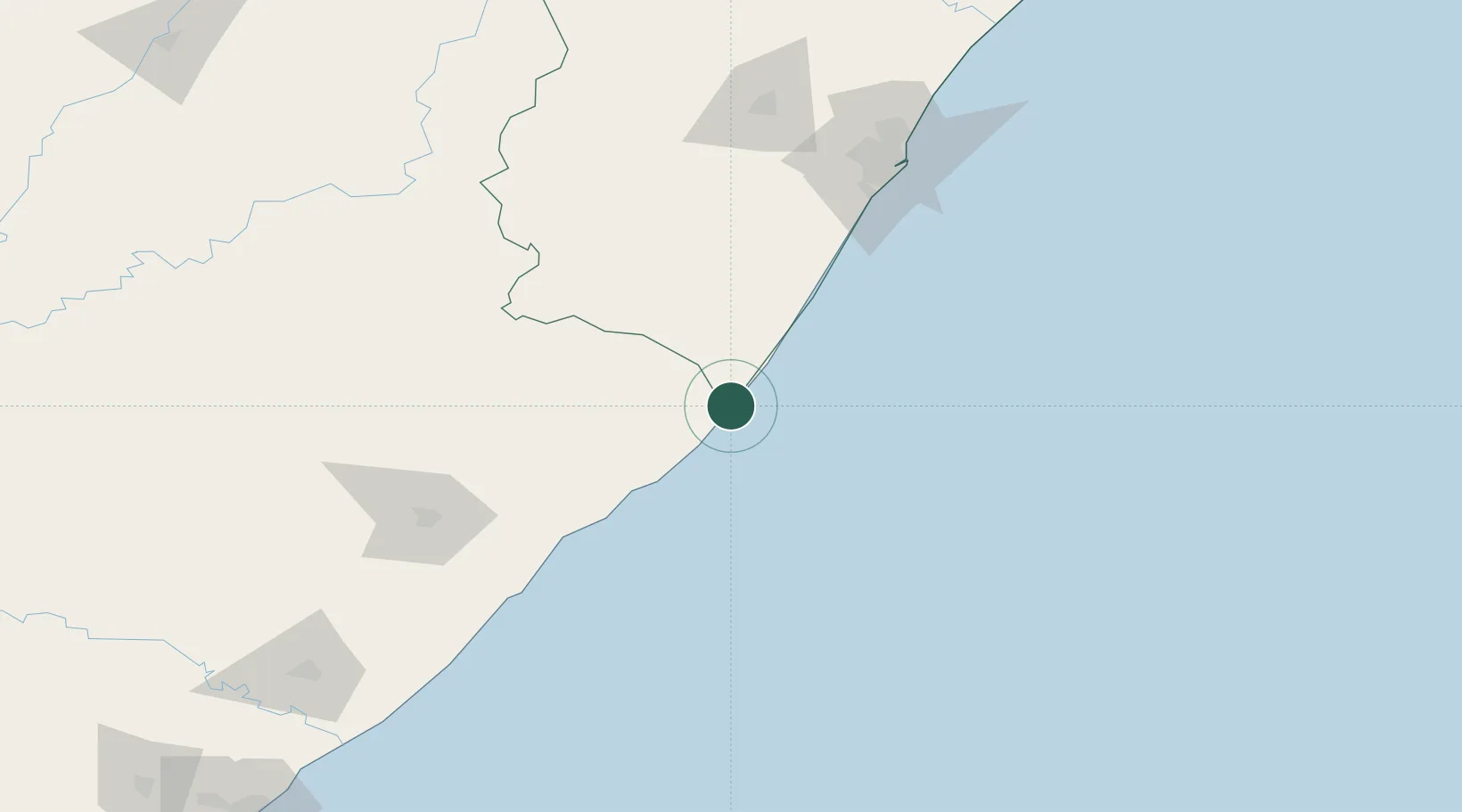
Port Edward
-31.0500°, 30.2167°
6,872
Population
4
Transport functions
Transport Functions
Port
Road
Multimodal
Postal
Hub Profile
Place type
Populated place
Region
KwaZulu-Natal
Population
6,872
Time zone
Africa/Johannesburg
Elevation
15 m
Location
Nearby Logistics Neighbours
Cities
- 1Southbroom18 km
- 2Faerie Glen25 km
- 3Hibberdene63 km
- 4Sezela83 km
- 5Pennington87 km
Ports
- 1Durban155 km
- 2Richards Bay308 km
- 3East London309 km
- 4Port Elizabeth537 km
- 5Maputo610 km
Airports
- 1Margate Airport25 km
- 2Port St Johns Airport90 km
- 3K. D. Matanzima Airport157 km
- 4Pietermaritzburg Airport157 km
- 5Virginia Airport164 km
Trade Zones
- 1Vulindlela Industrial Park150 km
- 2Wild Coast (Mthatha) Special Economic Zone154 km
- 3Dube TradePort180 km
- 4Dube AgriZone181 km
- 5Dube TradeZone182 km
DatabookThe Record of Consolidated Knowledge
South Africa beyond logistics?