Transport Functions
Rail
Road
Airport
Hub Profile
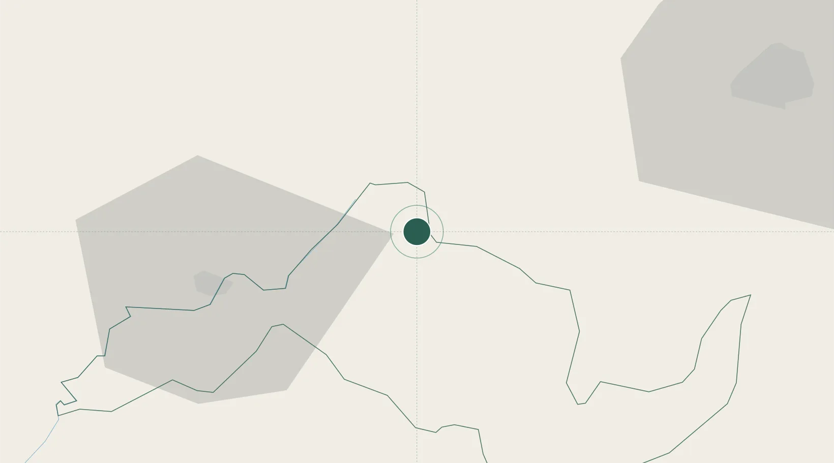
Place type
Regional capital
Region
Butha-Buthe
Population
40,599
Time zone
Africa/Maseru
Elevation
1,716 m
Location
Nearby Logistics Neighbours
Cities
- 1Maputsoe34 km
- 2Marquard79 km
- 3Bergville111 km
- 4Roodekop149 km
- 5Riebeeckstad169 km
Ports
- 1Durban300 km
- 2Richards Bay377 km
- 3East London474 km
- 4Maputo529 km
- 5Port Elizabeth625 km
Airports
- 1Ficksburg Sentraoes Airport32 km
- 2Moshoeshoe I International Airport100 km
- 3Harrismith Airport105 km
- 4Ladysmith Airport150 km
- 5Bram Fischer International Airport191 km
Trade Zones
DatabookThe Record of Consolidated Knowledge
Lesotho beyond logistics?